Distance between  Craven Arms and
  Cleator Moor
146.56 mi Straight Distance
206 mi Driving Distance
3 hours 31 mins Estimated Driving Time
The straight distance between Craven Arms (England) and Cleator Moor (England) is 146.56 mi, but the driving distance is 206 mi.
It takes to go from Craven Arms to Cleator Moor.
Driving directions from Craven Arms to Cleator Moor
Distance in kilometers
Straight distance: 235.81 km. Route distance: 331.45 km
Craven Arms, United Kingdom
Latitude: 52.4401 // Longitude: -2.83328
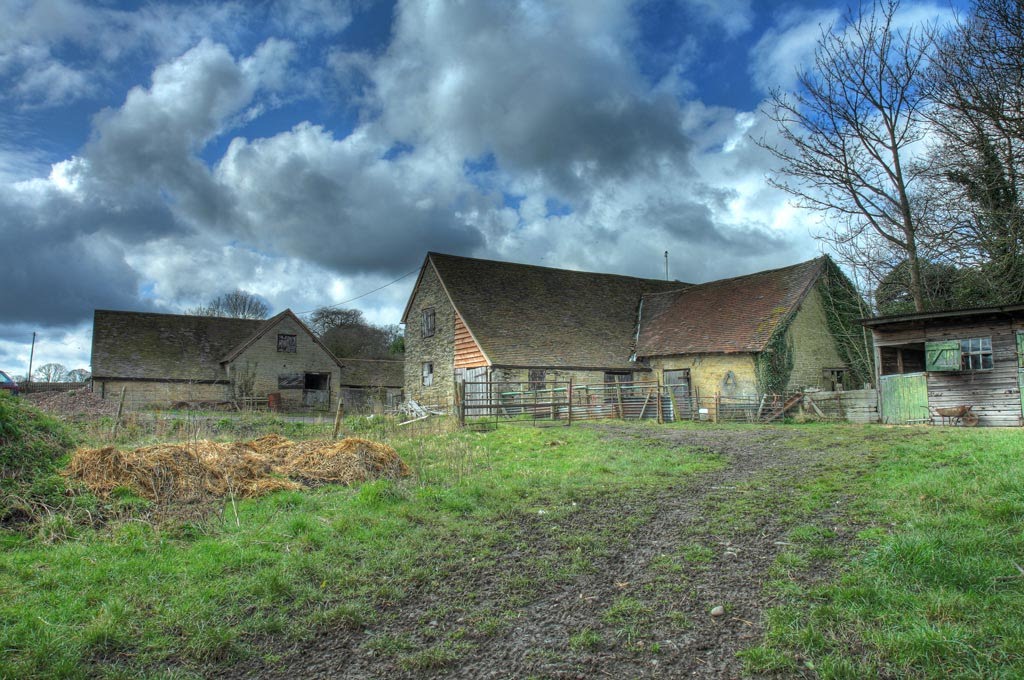
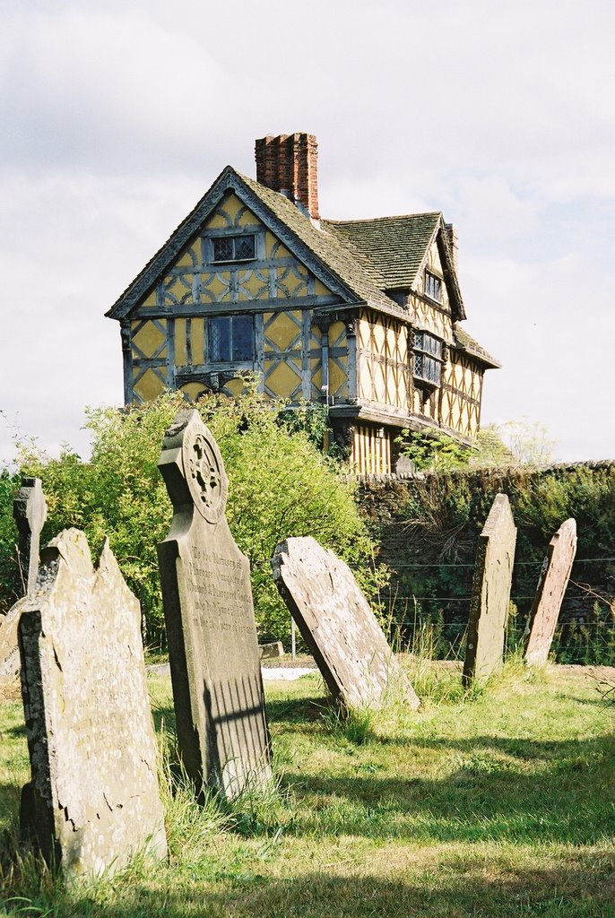
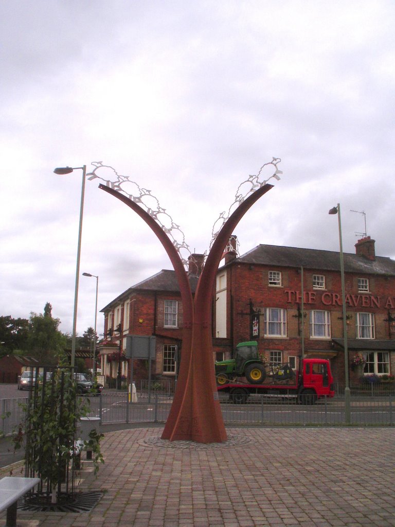
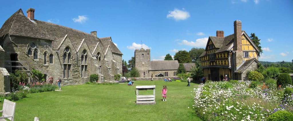
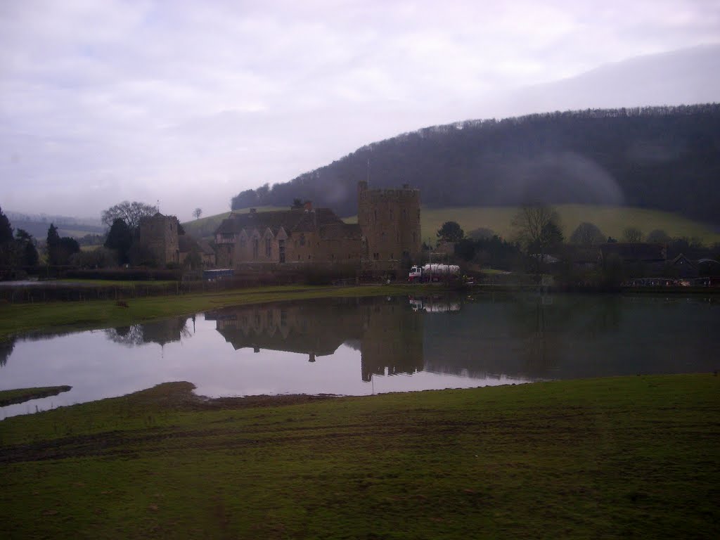
Photos of Craven Arms
Craven Arms Weather

Predicción: Overcast clouds
Temperatura: 9.6°
Humedad: 88%
Hora actual: 11:17 PM
Amanece: 06:04 AM
Anochece: 08:16 PM
Cleator Moor, United Kingdom
Latitude: 54.5219 // Longitude: -3.51717
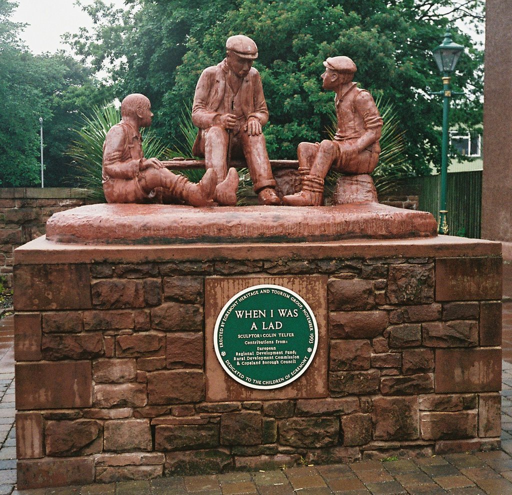
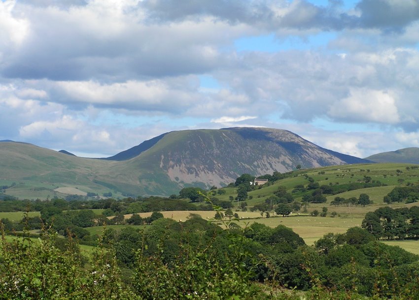
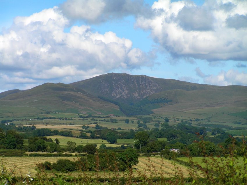
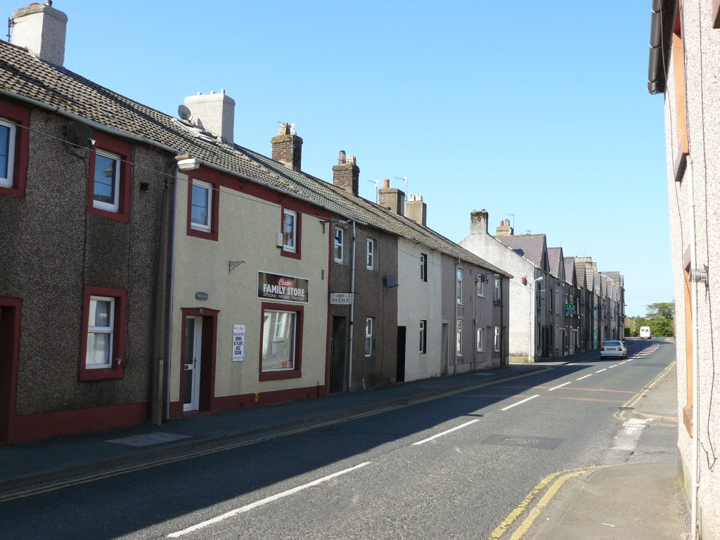
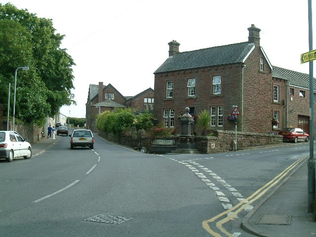
Photos of Cleator Moor
Cleator Moor Weather

Predicción: Overcast clouds
Temperatura: 8.9°
Humedad: 92%
Hora actual: 11:17 PM
Amanece: 06:02 AM
Anochece: 08:24 PM


