Distance between  Colne and
  Canvey Island
197.68 mi Straight Distance
264.93 mi Driving Distance
3 hours 58 mins Estimated Driving Time
The straight distance between Colne (England) and Canvey Island (England) is 197.68 mi, but the driving distance is 264.93 mi.
It takes to go from Colne to Canvey Island.
Driving directions from Colne to Canvey Island
Distance in kilometers
Straight distance: 318.07 km. Route distance: 426.27 km
Colne, United Kingdom
Latitude: 53.8556 // Longitude: -2.17699
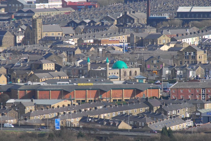
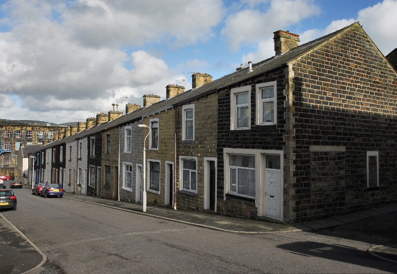
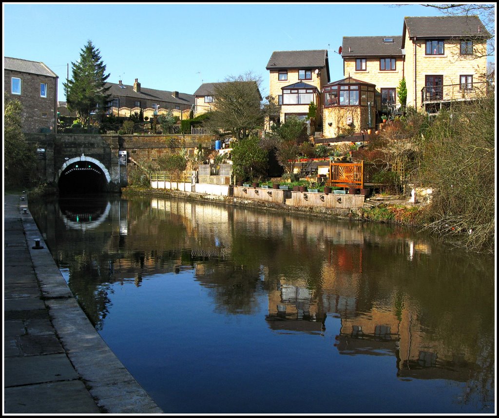
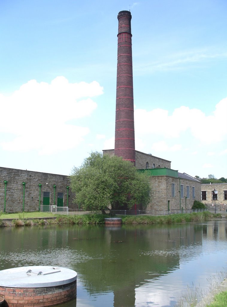
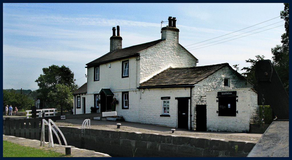
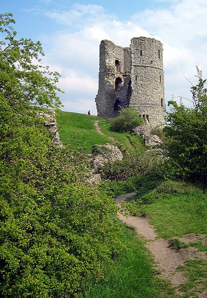
Photos of Colne
Colne Weather

Predicción: Overcast clouds
Temperatura: 9.9°
Humedad: 65%
Hora actual: 11:51 AM
Amanece: 06:03 AM
Anochece: 08:13 PM
Canvey Island, United Kingdom
Latitude: 51.5294 // Longitude: 0.57258
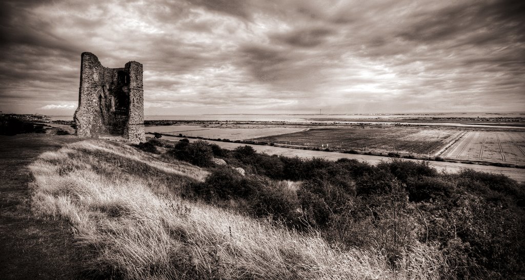
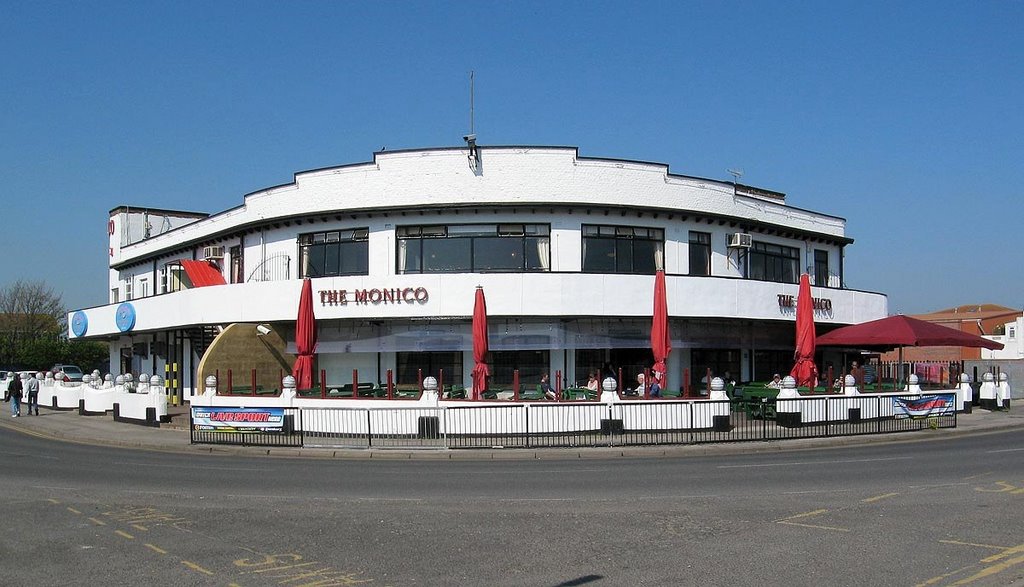
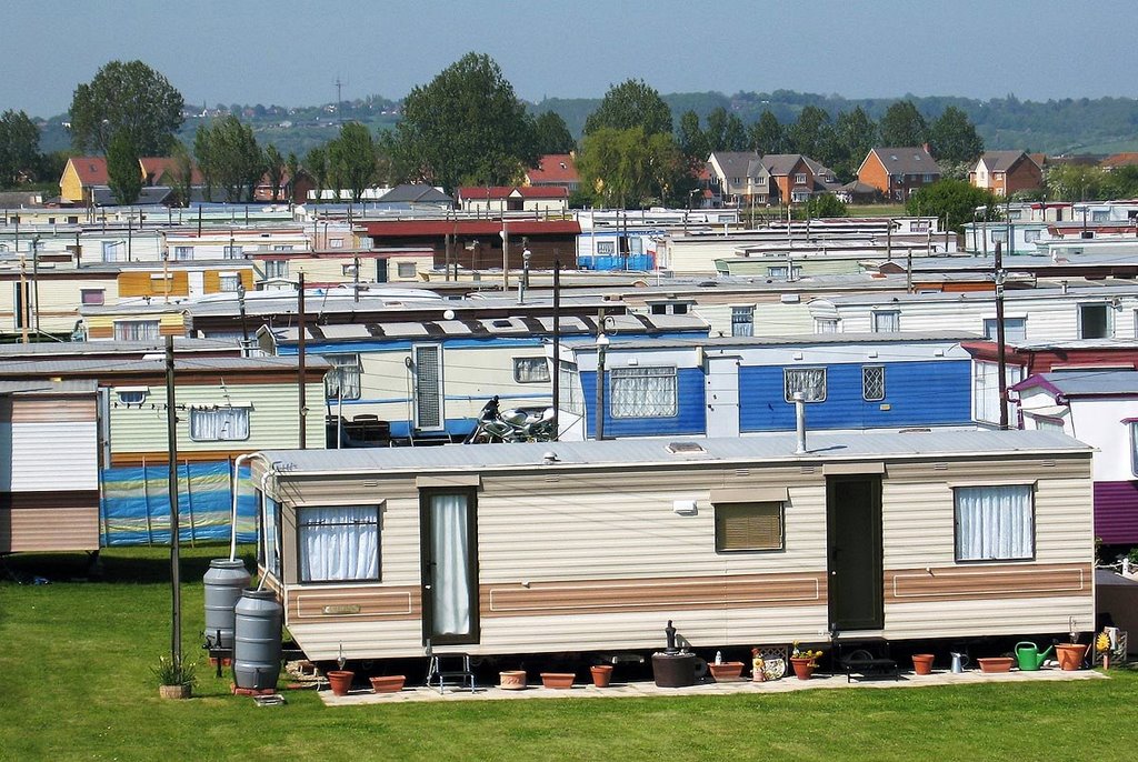
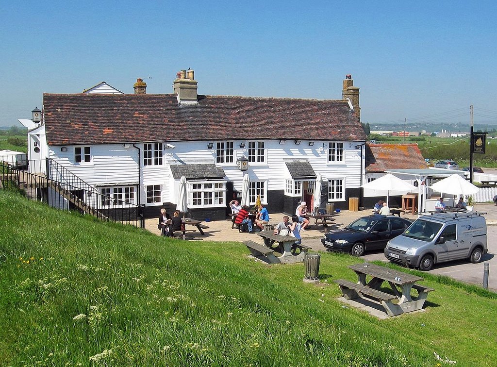
Photos of Canvey Island
Canvey Island Weather

Predicción: Broken clouds
Temperatura: 11.0°
Humedad: 66%
Hora actual: 11:51 AM
Amanece: 05:57 AM
Anochece: 07:57 PM


