Distance between  Coleshill and
  Carterton
51.35 mi Straight Distance
58.60 mi Driving Distance
1 hour 9 mins Estimated Driving Time
The straight distance between Coleshill (England) and Carterton (England) is 51.35 mi, but the driving distance is 58.60 mi.
It takes 1 hour 23 mins to go from Coleshill to Carterton.
Driving directions from Coleshill to Carterton
Distance in kilometers
Straight distance: 82.62 km. Route distance: 94.28 km
Coleshill, United Kingdom
Latitude: 52.4996 // Longitude: -1.7065
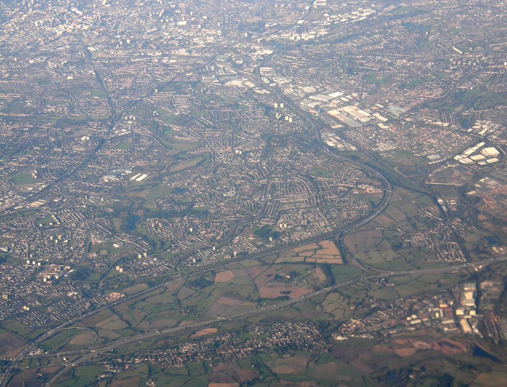
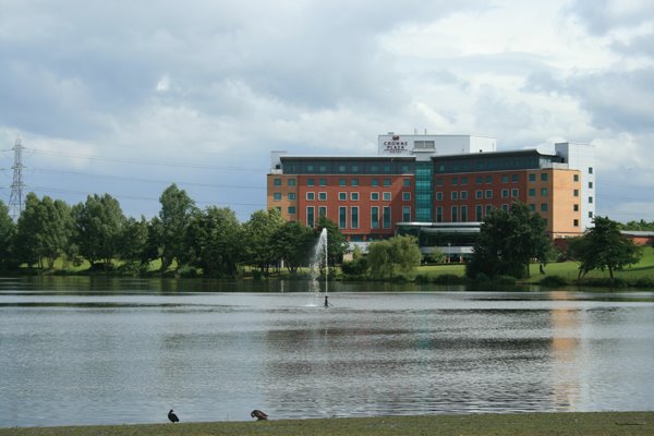
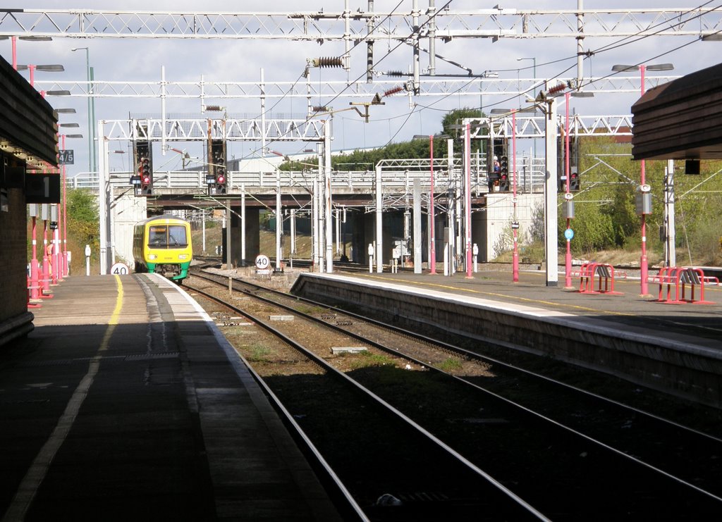
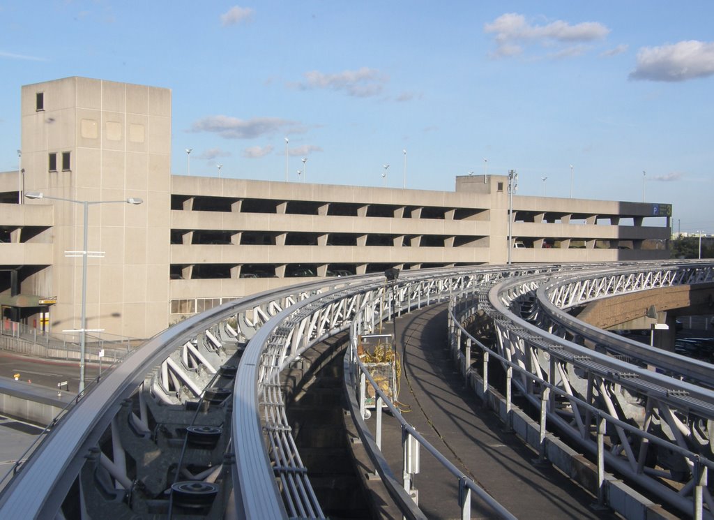
Photos of Coleshill
Coleshill Weather

Predicción: Broken clouds
Temperatura: 5.6°
Humedad: 86%
Hora actual: 10:06 PM
Amanece: 06:04 AM
Anochece: 08:08 PM
Carterton, United Kingdom
Latitude: 51.7597 // Longitude: -1.59312
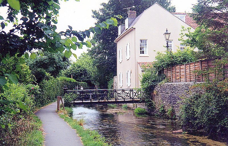
Photos of Carterton
Carterton Weather

Predicción: Clear sky
Temperatura: 6.2°
Humedad: 70%
Hora actual: 10:06 PM
Amanece: 06:05 AM
Anochece: 08:06 PM


