Distance between  Cleobury Mortimer and
  Carlton Colville
176.09 mi Straight Distance
230.01 mi Driving Distance
3 hours 41 mins Estimated Driving Time
The straight distance between Cleobury Mortimer (England) and Carlton Colville (England) is 176.09 mi, but the driving distance is 230.01 mi.
It takes 4 hours 12 mins to go from Cleobury Mortimer to Carlton Colville.
Driving directions from Cleobury Mortimer to Carlton Colville
Distance in kilometers
Straight distance: 283.33 km. Route distance: 370.09 km
Cleobury Mortimer, United Kingdom
Latitude: 52.3784 // Longitude: -2.48347
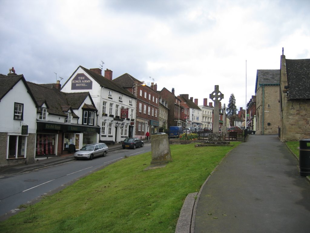
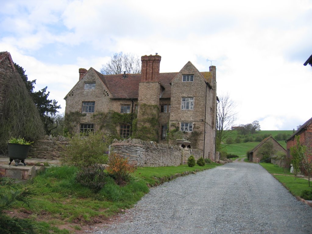
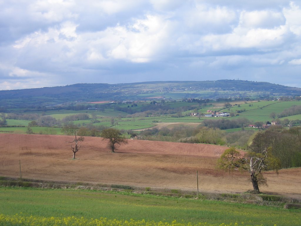
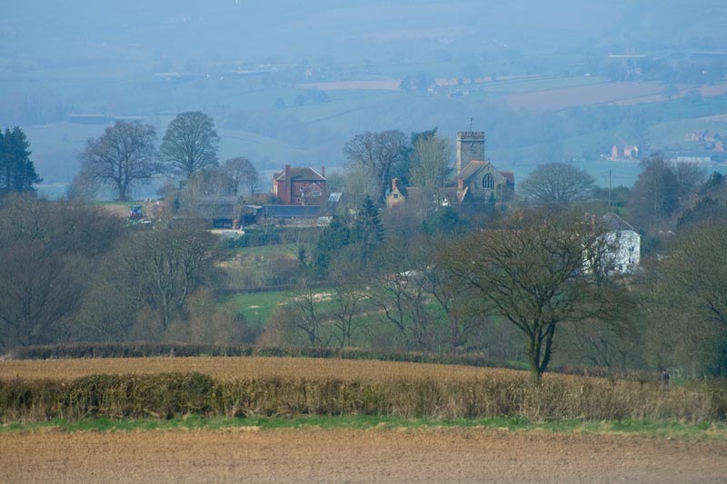
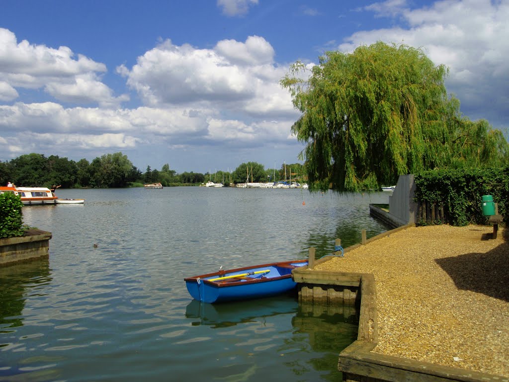
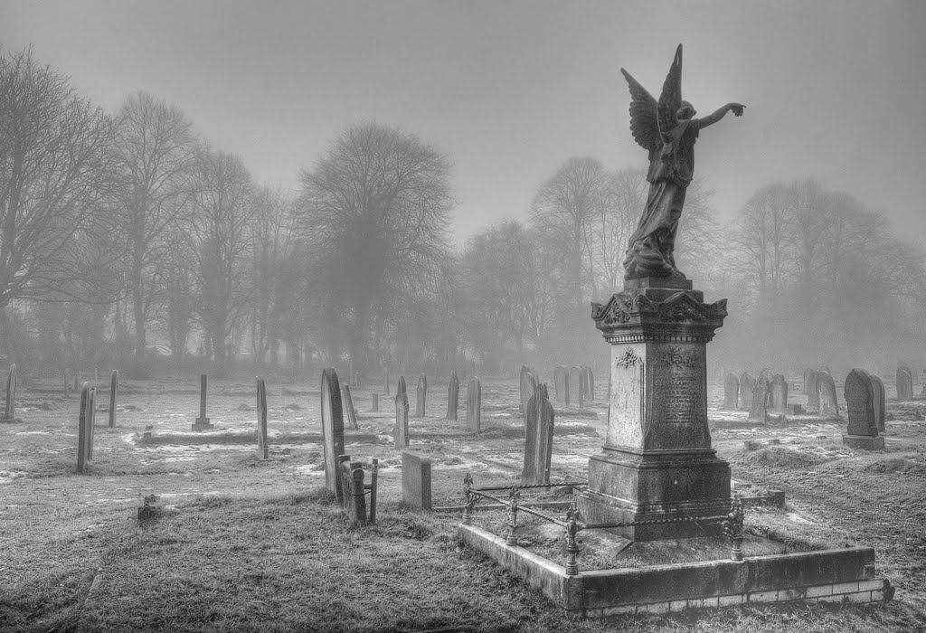
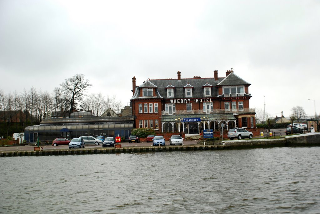
Photos of Cleobury Mortimer
Cleobury Mortimer Weather

Predicción: Moderate rain
Temperatura: 8.8°
Humedad: 67%
Hora actual: 06:52 PM
Amanece: 06:03 AM
Anochece: 08:14 PM
Carlton Colville, United Kingdom
Latitude: 52.4519 // Longitude: 1.6939
Photos of Carlton Colville
Carlton Colville Weather

Predicción: Light rain
Temperatura: 11.5°
Humedad: 57%
Hora actual: 06:52 PM
Amanece: 05:46 AM
Anochece: 07:58 PM


