Distance between  Chapel-en-le-Frith and
  Barnes
146.39 mi Straight Distance
177.65 mi Driving Distance
2 hours 58 mins Estimated Driving Time
The straight distance between Chapel-en-le-Frith (England) and Barnes (England) is 146.39 mi, but the driving distance is 177.65 mi.
It takes to go from Chapel-en-le-Frith to Barnes.
Driving directions from Chapel-en-le-Frith to Barnes
Distance in kilometers
Straight distance: 235.54 km. Route distance: 285.85 km
Chapel-en-le-Frith, United Kingdom
Latitude: 53.3257 // Longitude: -1.90947
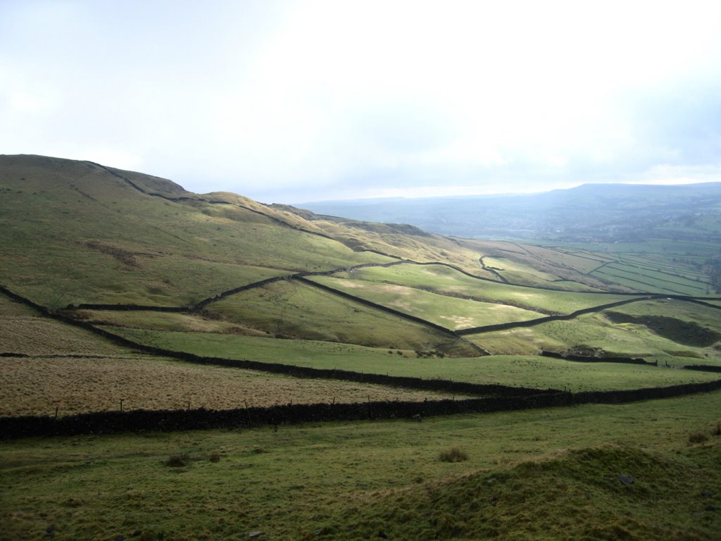
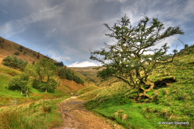
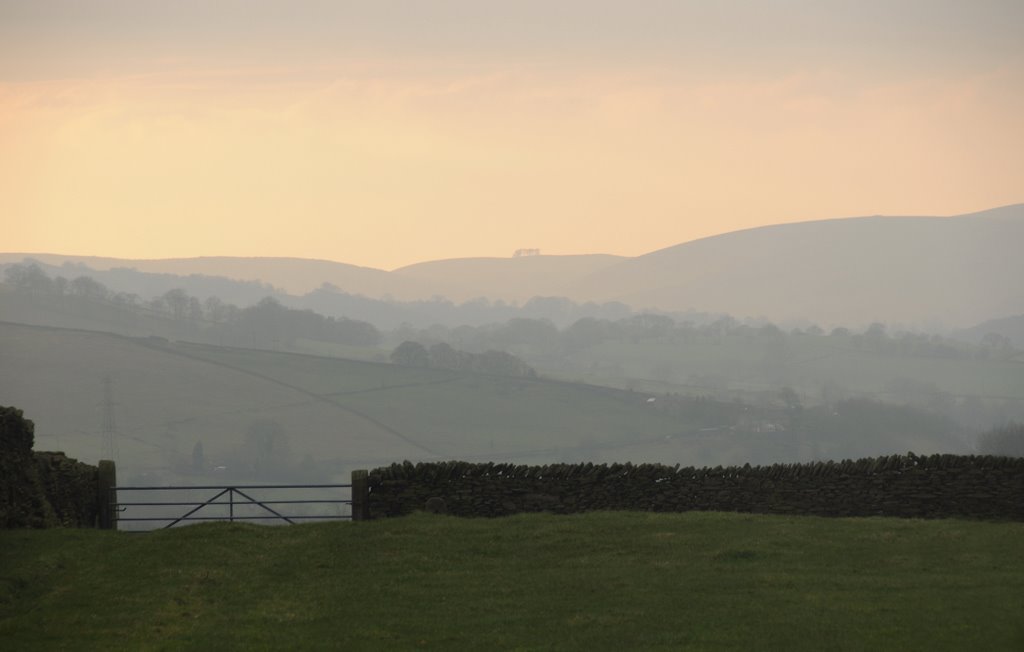
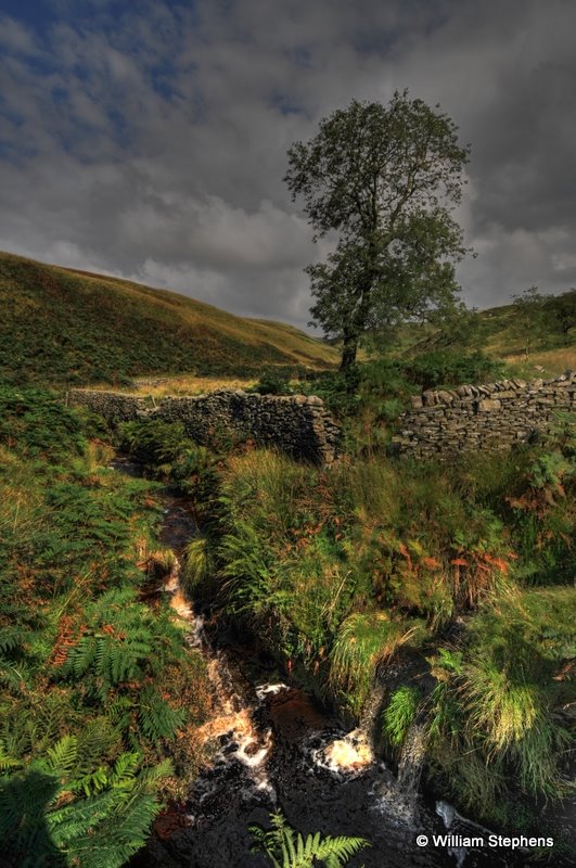
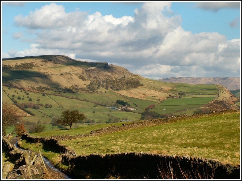
Photos of Chapel-en-le-Frith
Chapel-en-le-Frith Weather

Predicción: Clear sky
Temperatura: 1.8°
Humedad: 85%
Hora actual: 02:27 AM
Amanece: 05:58 AM
Anochece: 08:14 PM
Barnes, United Kingdom
Latitude: 51.4671 // Longitude: -0.242141
Photos of Barnes
Barnes Weather

Predicción: Overcast clouds
Temperatura: 6.4°
Humedad: 85%
Hora actual: 02:27 AM
Amanece: 05:56 AM
Anochece: 08:03 PM


