Distance between  Chagford and
  Cannock
160.23 mi Straight Distance
197.49 mi Driving Distance
3 hours 2 mins Estimated Driving Time
The straight distance between Chagford (England) and Cannock (England) is 160.23 mi, but the driving distance is 197.49 mi.
It takes to go from Chagford to Cannock.
Driving directions from Chagford to Cannock
Distance in kilometers
Straight distance: 257.81 km. Route distance: 317.76 km
Chagford, United Kingdom
Latitude: 50.6731 // Longitude: -3.84027
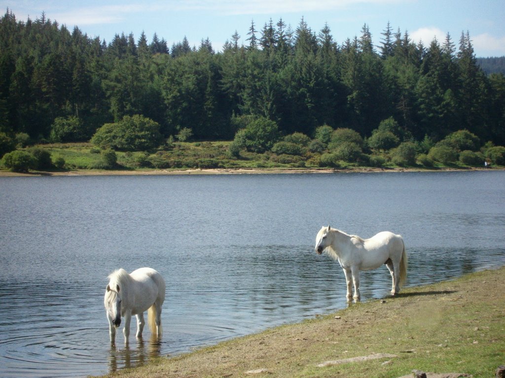
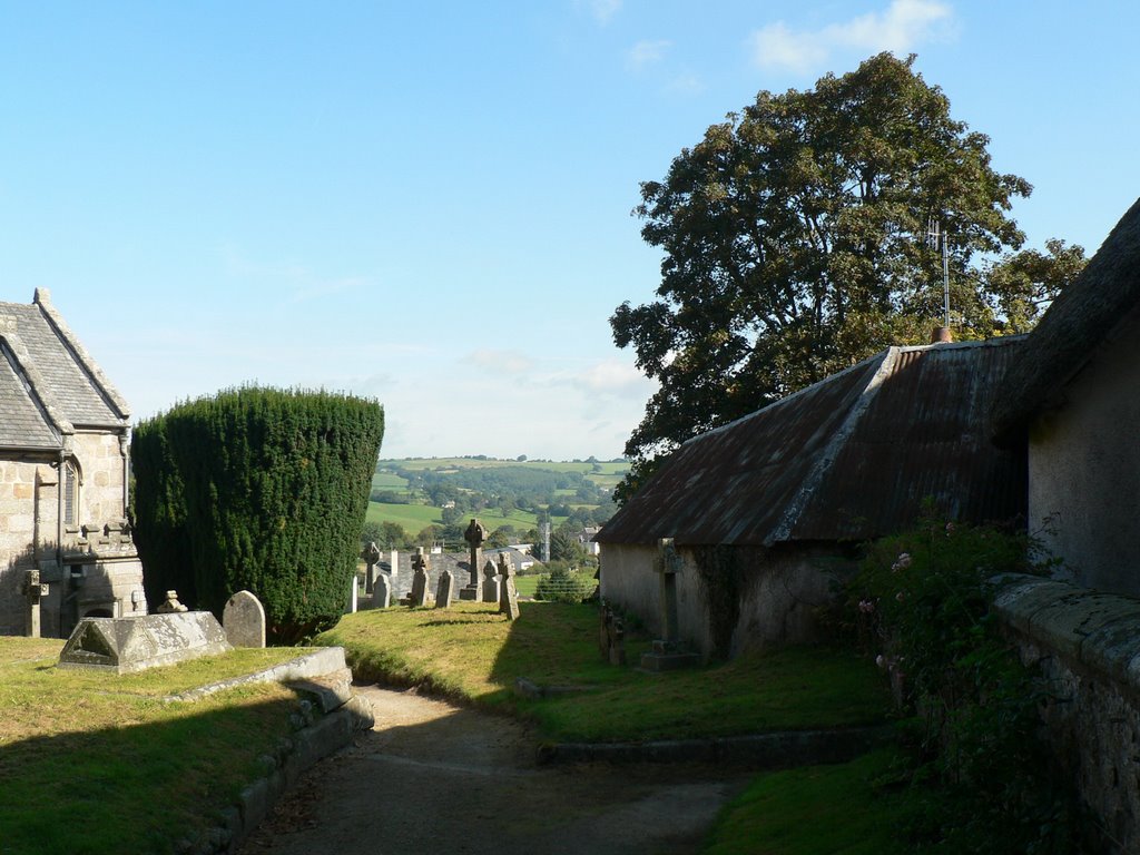
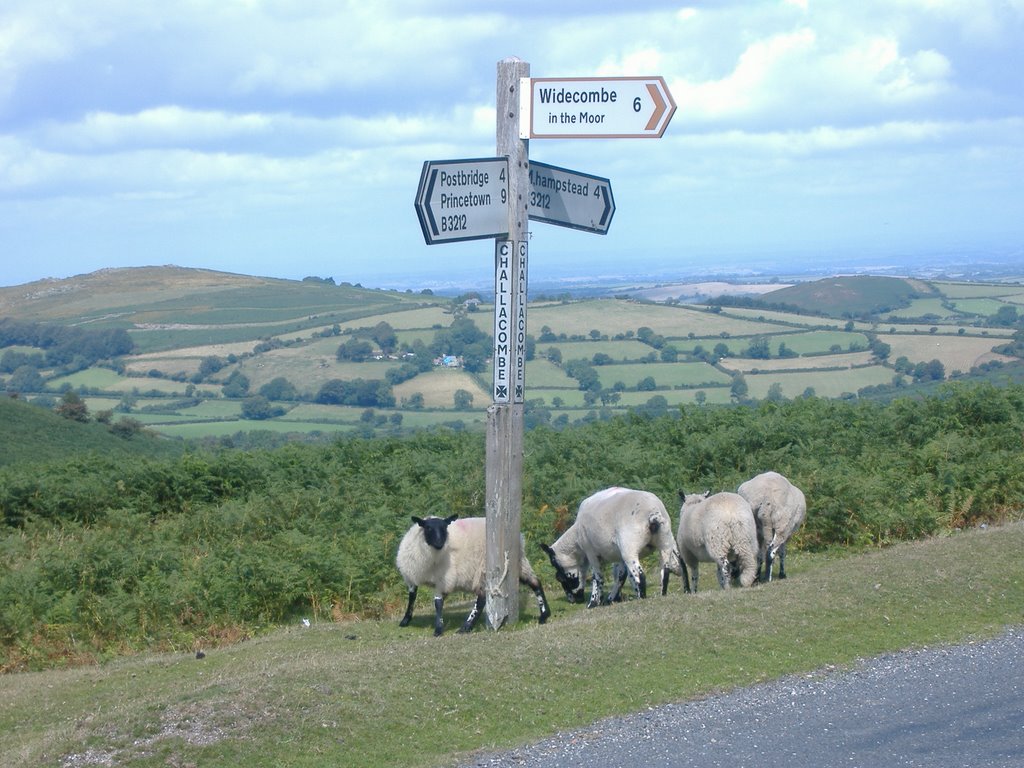
Photos of Chagford
Chagford Weather

Predicción: Scattered clouds
Temperatura: 13.2°
Humedad: 59%
Hora actual: 03:00 PM
Amanece: 06:12 AM
Anochece: 08:16 PM
Cannock, United Kingdom
Latitude: 52.6999 // Longitude: -2.02183
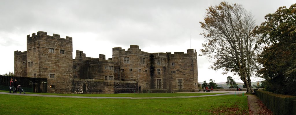
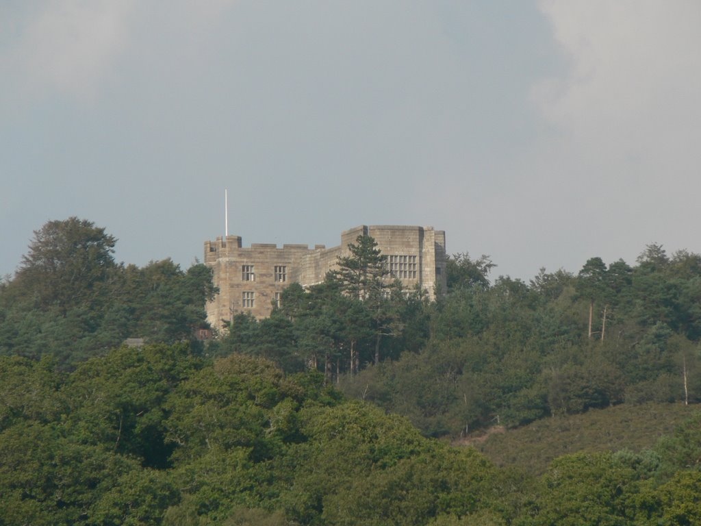
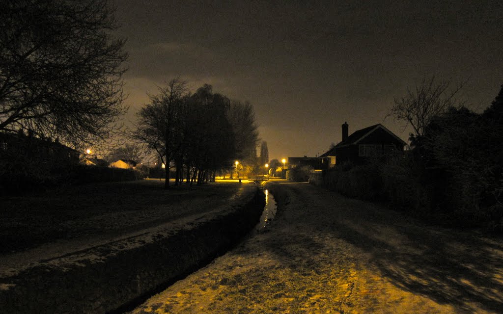
Photos of Cannock
Cannock Weather

Predicción: Overcast clouds
Temperatura: 11.2°
Humedad: 57%
Hora actual: 03:00 PM
Amanece: 06:00 AM
Anochece: 08:13 PM


