
Distance between  Carnlough and
  Aghadrumsee
73.24 mi Straight Distance
99.47 mi Driving Distance
1 hour 48 mins Estimated Driving Time
The straight distance between Carnlough (Northern Ireland) and Aghadrumsee (Northern Ireland) is 73.24 mi, but the driving distance is 99.47 mi.
It takes to go from Carnlough to Aghadrumsee.
Driving directions from Carnlough to Aghadrumsee
Distance in kilometers
Straight distance: 117.84 km. Route distance: 160.04 km
Carnlough, United Kingdom
Latitude: 54.9903 // Longitude: -5.99241
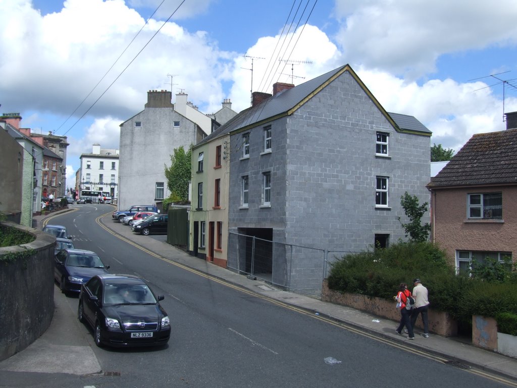
Photos of Carnlough


")
")


Carnlough Weather

Predicción: Overcast clouds
Temperatura: 1.5°
Humedad: 89%
Hora actual: 01:30 AM
Amanece: 06:10 AM
Anochece: 08:35 PM
Aghadrumsee, United Kingdom
Latitude: 54.2252 // Longitude: -7.25916
Photos of Aghadrumsee


Aghadrumsee Weather
Predicción: Broken clouds
Temperatura: 2.2°
Humedad: 96%
Hora actual: 01:30 AM
Amanece: 06:17 AM
Anochece: 08:38 PM


