Distance between  Camborne and
  Burntwood
223.90 mi Straight Distance
277.06 mi Driving Distance
4 hours 9 mins Estimated Driving Time
The straight distance between Camborne (England) and Burntwood (England) is 223.90 mi, but the driving distance is 277.06 mi.
It takes 4 hours 29 mins to go from Camborne to Burntwood.
Driving directions from Camborne to Burntwood
Distance in kilometers
Straight distance: 360.26 km. Route distance: 445.79 km
Camborne, United Kingdom
Latitude: 50.2128 // Longitude: -5.29478
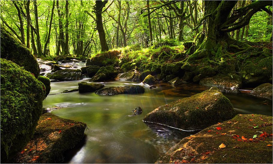
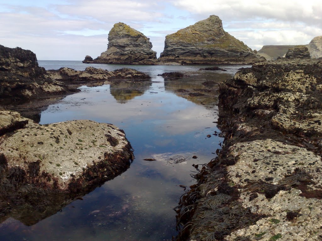
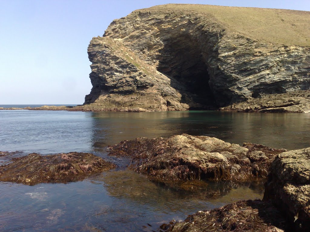
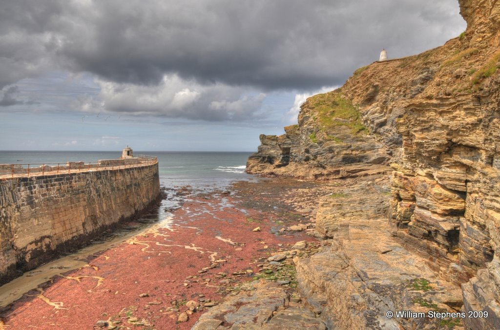
Photos of Camborne
Camborne Weather

Predicción: Broken clouds
Temperatura: 7.4°
Humedad: 87%
Hora actual: 10:56 PM
Amanece: 06:19 AM
Anochece: 08:21 PM
Burntwood, United Kingdom
Latitude: 52.6799 // Longitude: -1.92178
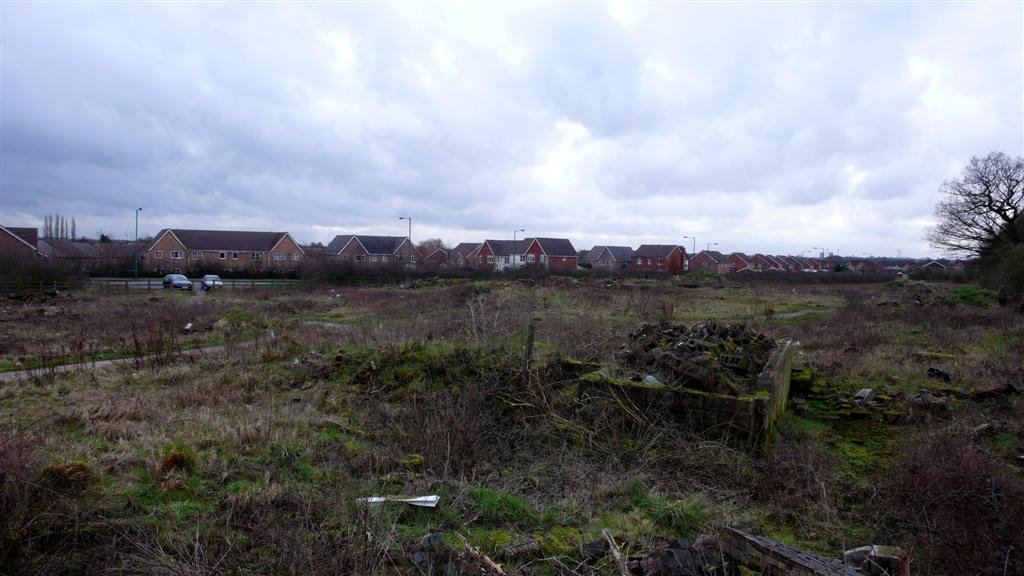
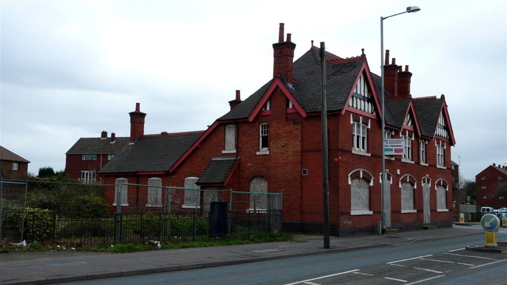
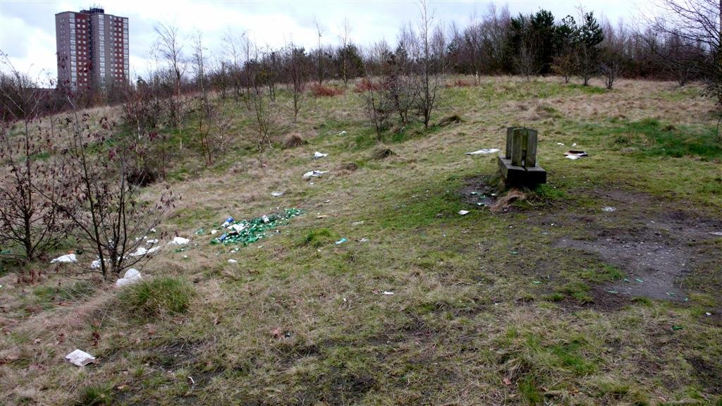
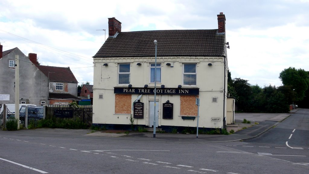
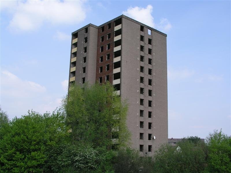
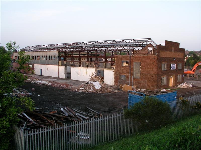
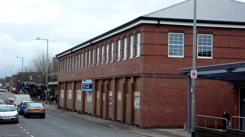
Photos of Burntwood
Burntwood Weather

Predicción: Overcast clouds
Temperatura: 8.6°
Humedad: 84%
Hora actual: 10:56 PM
Amanece: 06:00 AM
Anochece: 08:13 PM


