Distance between  Burnham-on-Crouch and
  Bromley
37.72 mi Straight Distance
51.37 mi Driving Distance
58 minutes Estimated Driving Time
The straight distance between Burnham-on-Crouch (England) and Bromley (England) is 37.72 mi, but the driving distance is 51.37 mi.
It takes to go from Burnham-on-Crouch to Bromley.
Driving directions from Burnham-on-Crouch to Bromley
Distance in kilometers
Straight distance: 60.70 km. Route distance: 82.66 km
Burnham-on-Crouch, United Kingdom
Latitude: 51.6283 // Longitude: 0.814539
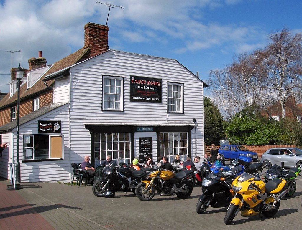
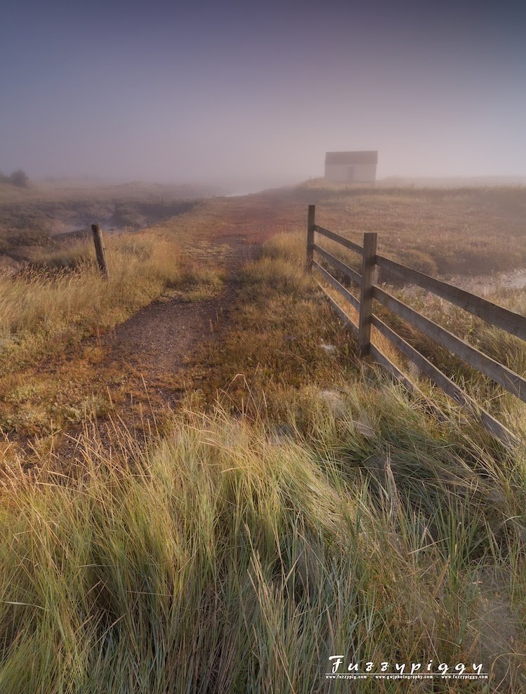
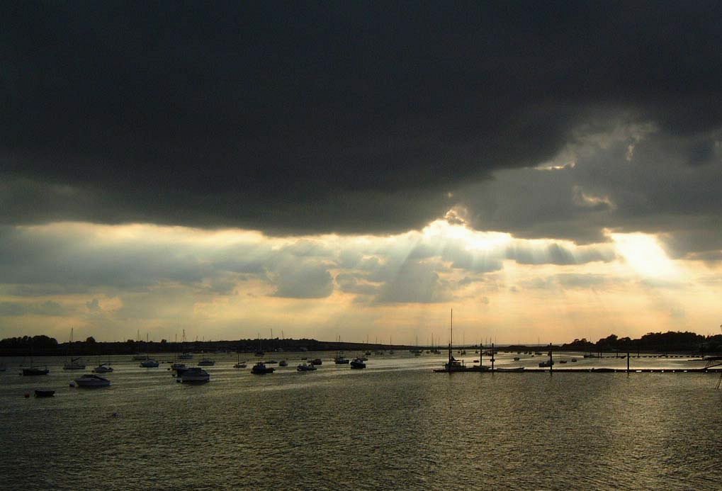
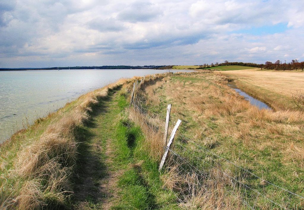
Photos of Burnham-on-Crouch
Burnham-on-Crouch Weather

Predicción: Few clouds
Temperatura: 9.4°
Humedad: 69%
Hora actual: 10:29 AM
Amanece: 05:51 AM
Anochece: 07:59 PM
Bromley, United Kingdom
Latitude: 51.406 // Longitude: 0.013156
Photos of Bromley
Bromley Weather

Predicción: Scattered clouds
Temperatura: 8.8°
Humedad: 70%
Hora actual: 10:29 AM
Amanece: 05:55 AM
Anochece: 08:02 PM


