Distance between  Bude-Stratton and
  Broseley
151.39 mi Straight Distance
220.61 mi Driving Distance
3 hours 43 mins Estimated Driving Time
The straight distance between Bude-Stratton (England) and Broseley (England) is 151.39 mi, but the driving distance is 220.61 mi.
It takes to go from Bude-Stratton to Broseley.
Driving directions from Bude-Stratton to Broseley
Distance in kilometers
Straight distance: 243.59 km. Route distance: 354.96 km
Bude-Stratton, United Kingdom
Latitude: 50.8302 // Longitude: -4.54369
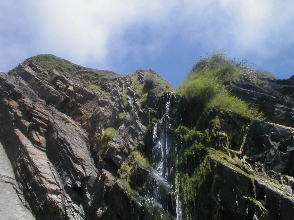
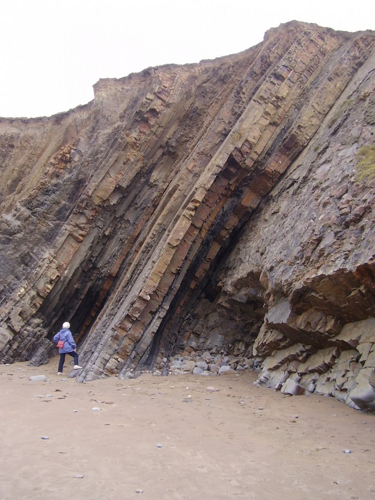
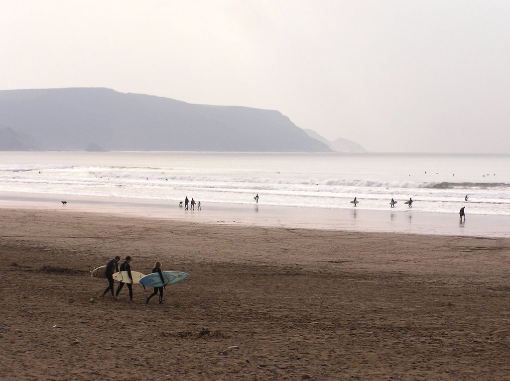
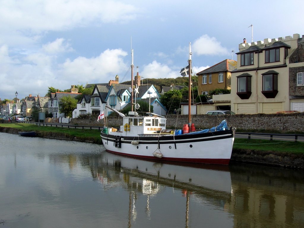
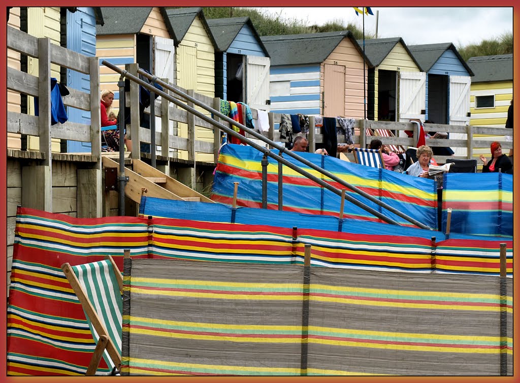
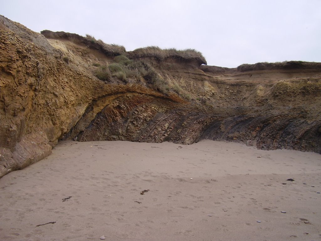
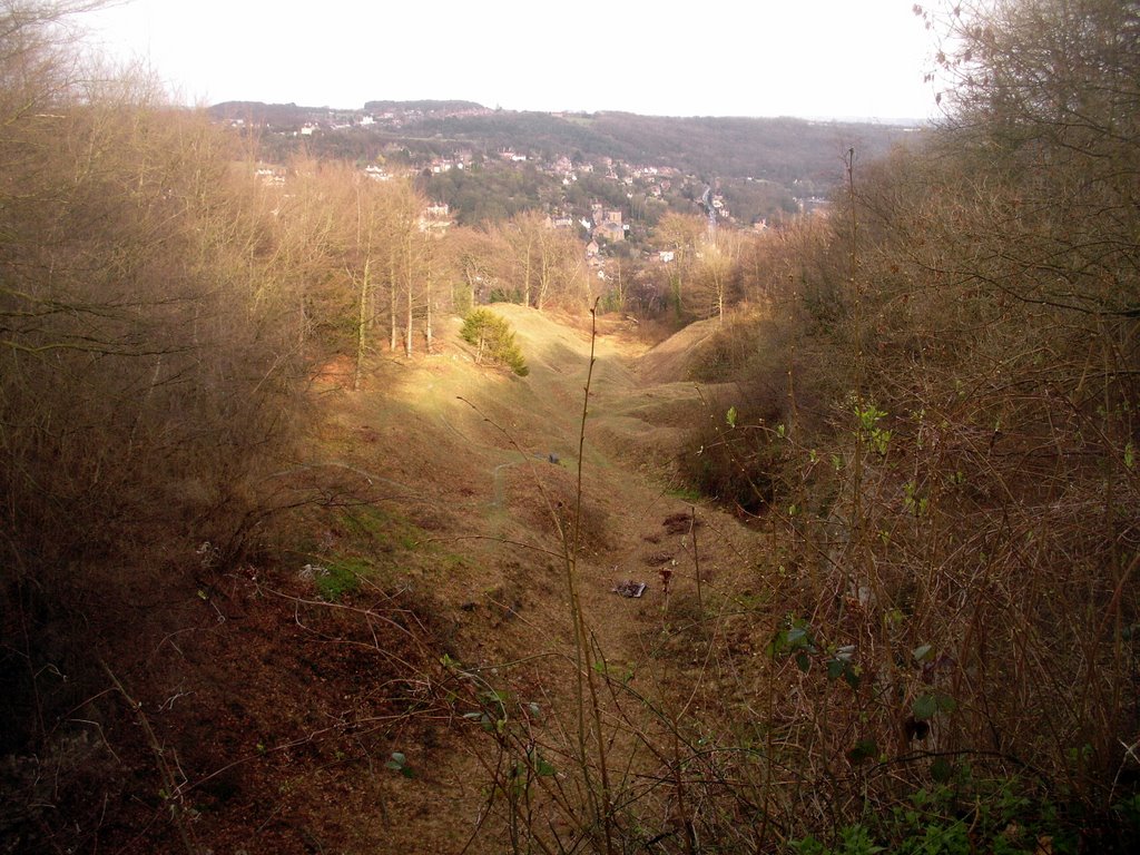
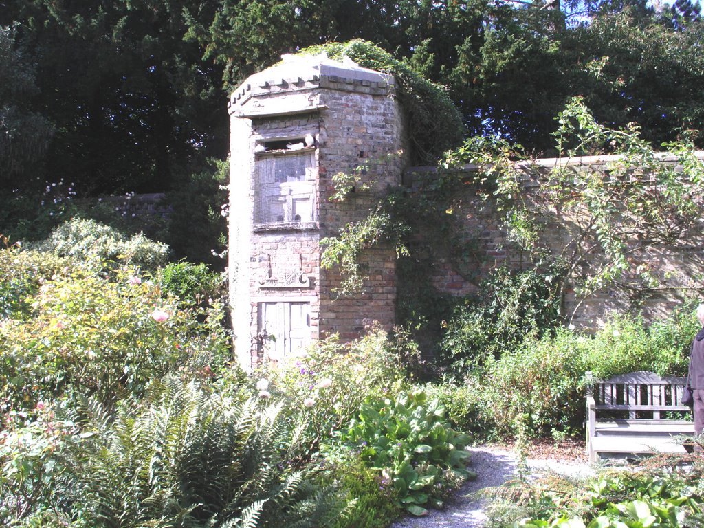
Photos of Bude-Stratton
Bude-Stratton Weather

Predicción: Scattered clouds
Temperatura: 7.0°
Humedad: 80%
Hora actual: 10:48 PM
Amanece: 06:19 AM
Anochece: 08:16 PM
Broseley, United Kingdom
Latitude: 52.6115 // Longitude: -2.48341
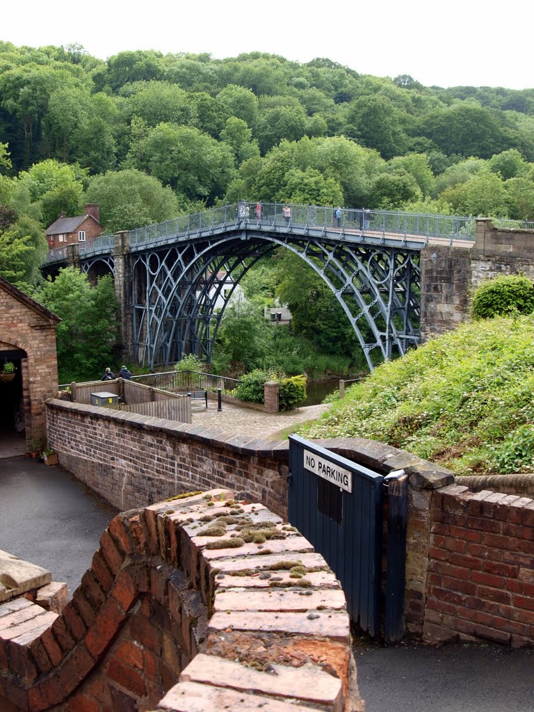
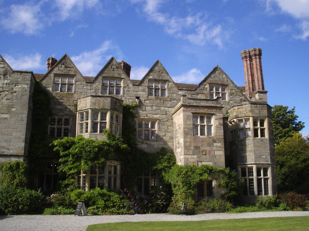
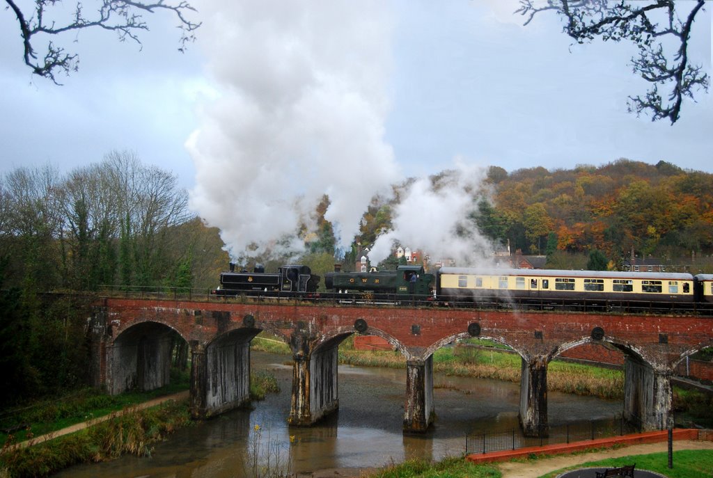
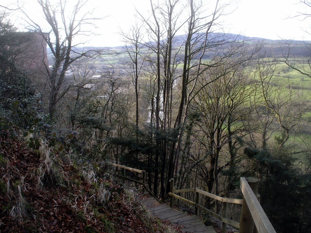
Photos of Broseley
Broseley Weather

Predicción: Clear sky
Temperatura: 5.1°
Humedad: 87%
Hora actual: 10:48 PM
Amanece: 06:07 AM
Anochece: 08:11 PM


