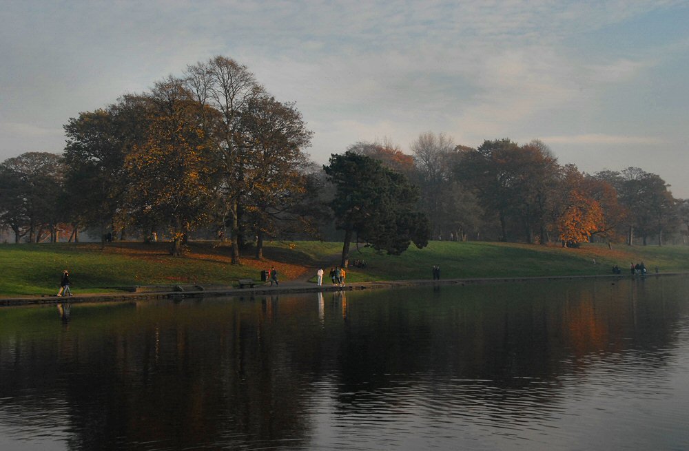
Distance between  Broughton-in-Furness and
  Bromborough
65.84 mi Straight Distance
106.26 mi Driving Distance
1 hour 50 mins Estimated Driving Time
The straight distance between Broughton-in-Furness (England) and Bromborough (England) is 65.84 mi, but the driving distance is 106.26 mi.
It takes 2 hours 15 mins to go from Broughton-in-Furness to Bromborough.
Driving directions from Broughton-in-Furness to Bromborough
Distance in kilometers
Straight distance: 105.94 km. Route distance: 170.97 km
Broughton-in-Furness, United Kingdom
Latitude: 54.2777 // Longitude: -3.21127
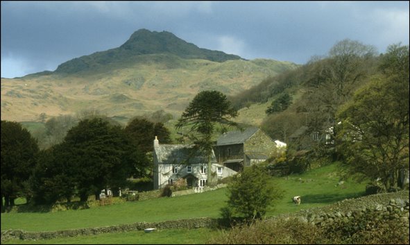
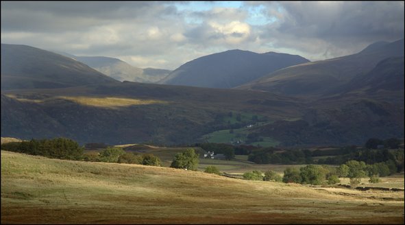
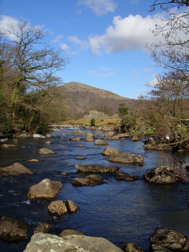
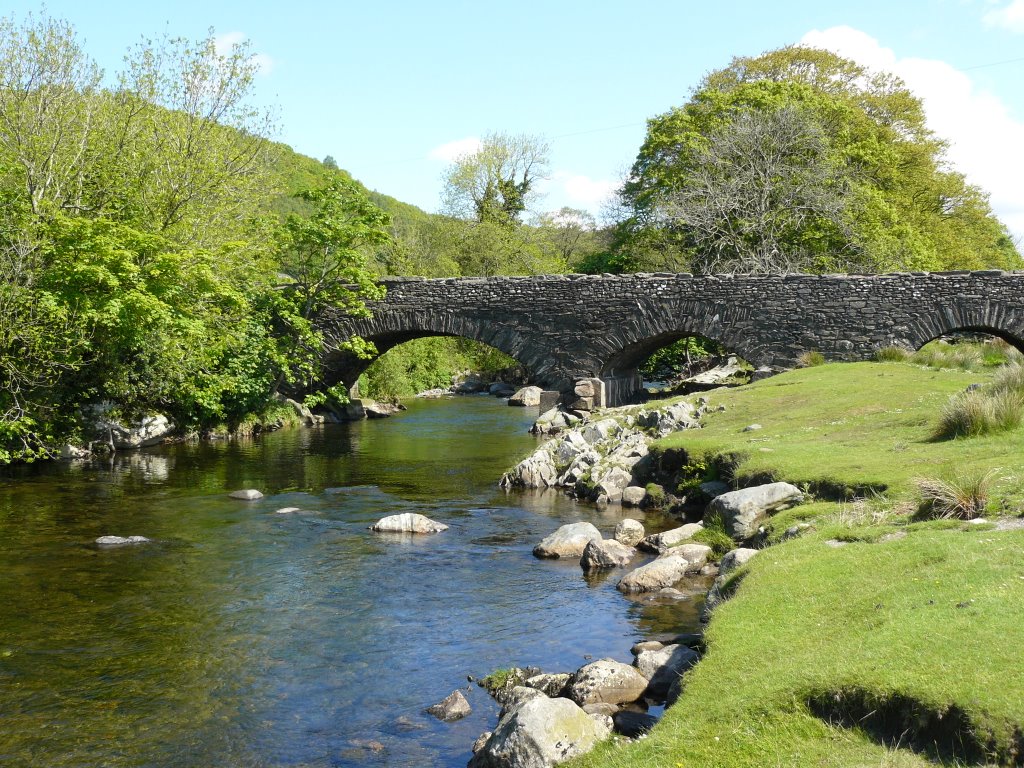
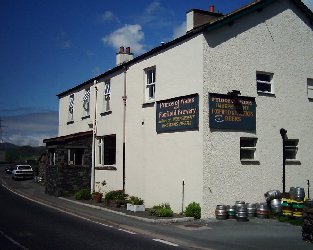
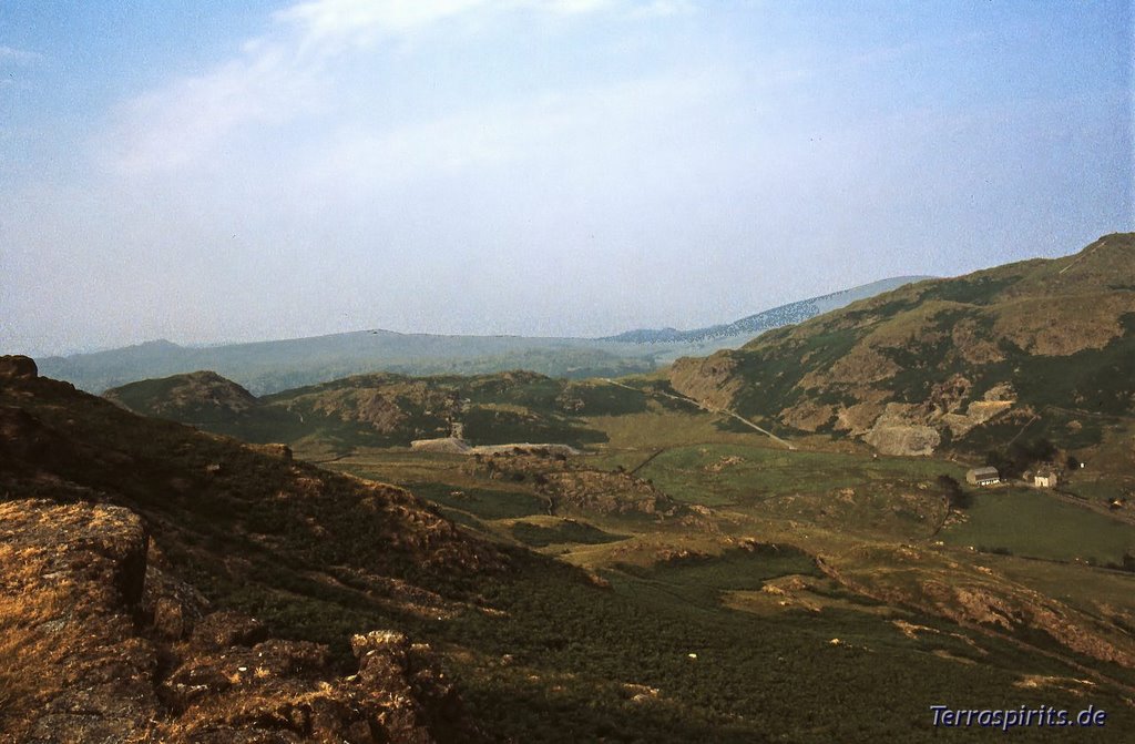
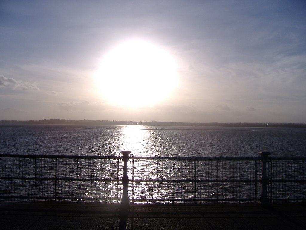
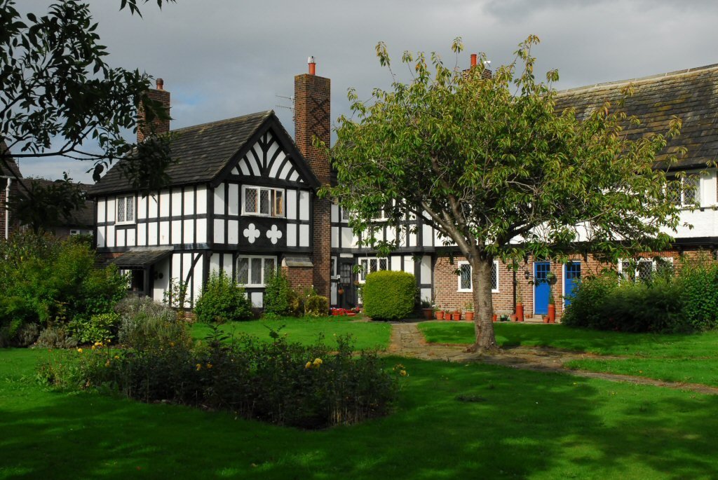
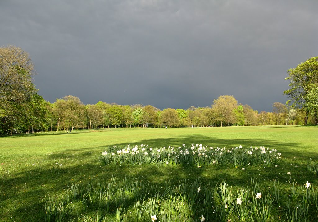
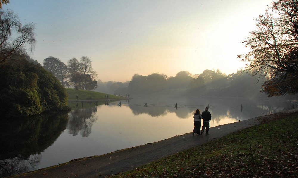
Photos of Broughton-in-Furness
Broughton-in-Furness Weather

Predicción: Few clouds
Temperatura: 5.5°
Humedad: 80%
Hora actual: 12:41 AM
Amanece: 06:03 AM
Anochece: 08:20 PM
Bromborough, United Kingdom
Latitude: 53.3348 // Longitude: -2.97799
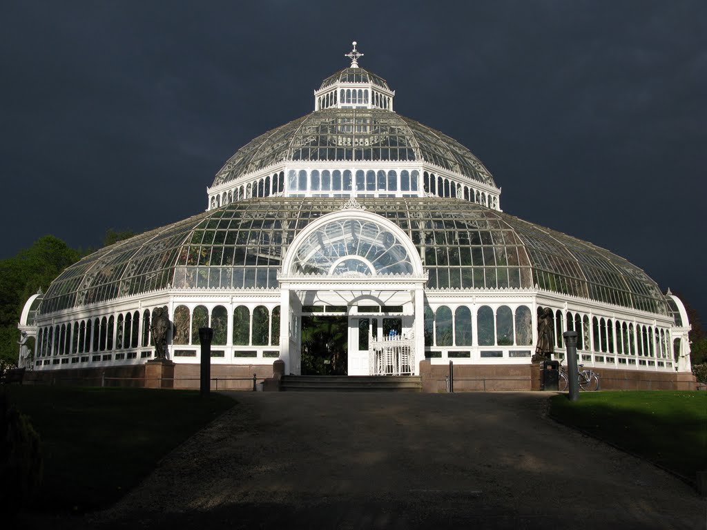
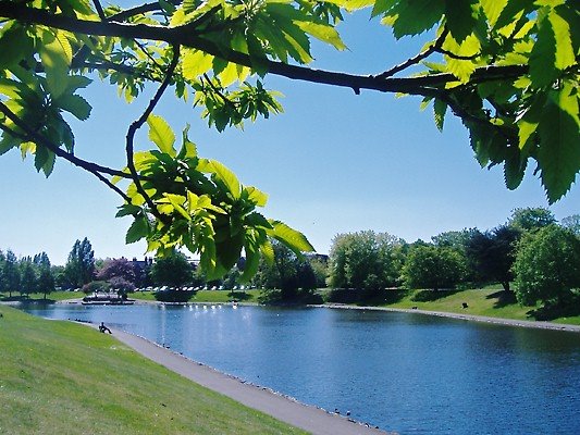
Photos of Bromborough
Bromborough Weather

Predicción: Broken clouds
Temperatura: 7.6°
Humedad: 76%
Hora actual: 12:41 AM
Amanece: 06:05 AM
Anochece: 08:17 PM


