Distance between  Bradley Stoke and
  Swansea
60.32 mi Straight Distance
73.34 mi Driving Distance
1 hour 13 mins Estimated Driving Time
The straight distance between Bradley Stoke (England) and Swansea (Wales) is 60.32 mi, but the driving distance is 73.34 mi.
It takes 1 hour 19 mins to go from Bradley Stoke to Swansea.
Driving directions from Bradley Stoke to Swansea
Distance in kilometers
Straight distance: 97.05 km. Route distance: 118.00 km
Bradley Stoke, United Kingdom
Latitude: 51.5323 // Longitude: -2.54621
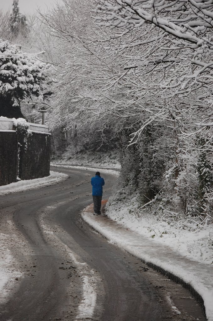
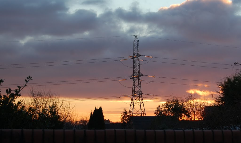
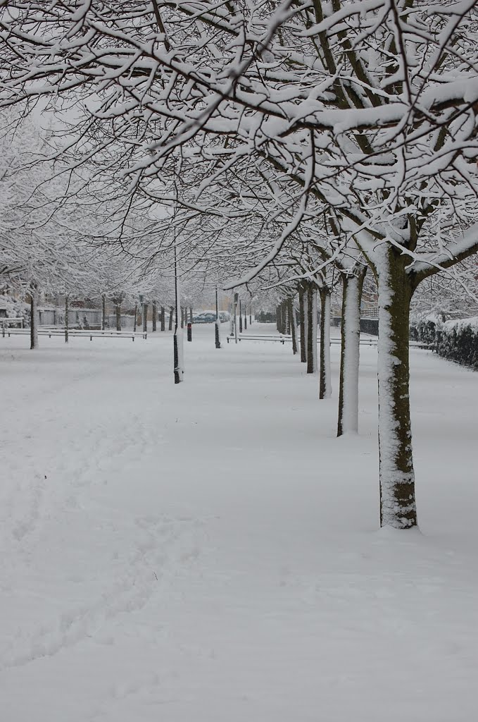
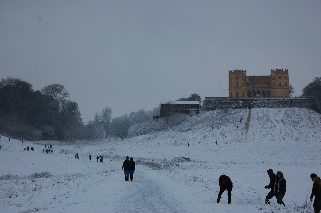
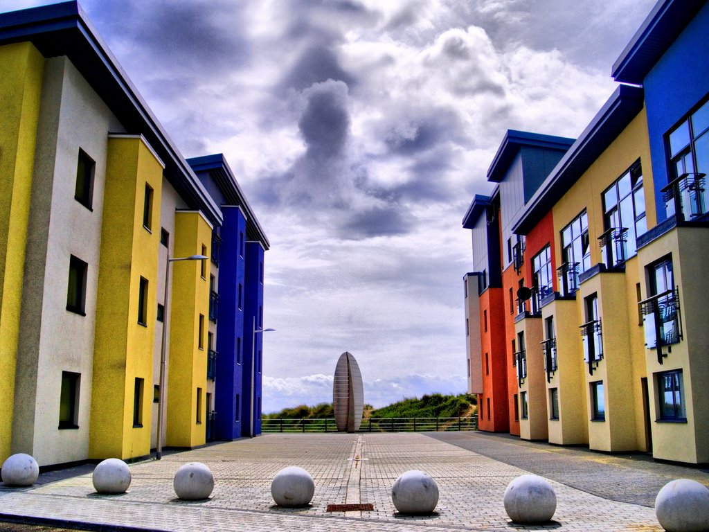
Photos of Bradley Stoke
Bradley Stoke Weather

Predicción: Scattered clouds
Temperatura: 11.6°
Humedad: 65%
Hora actual: 11:29 AM
Amanece: 06:09 AM
Anochece: 08:09 PM
Swansea, United Kingdom
Latitude: 51.6214 // Longitude: -3.94365
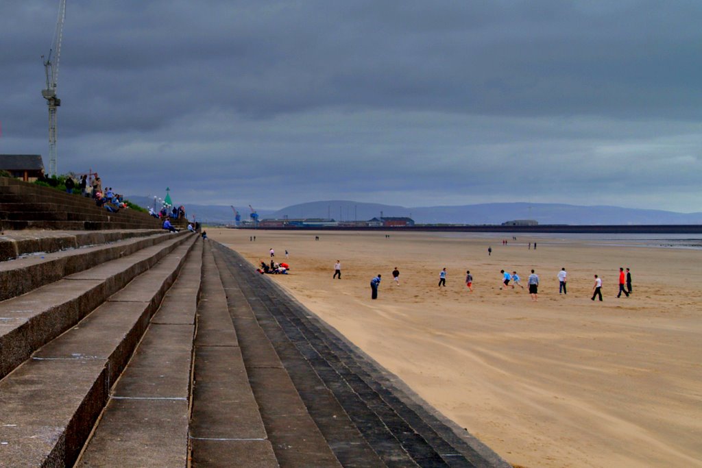
Photos of Swansea
Swansea Weather

Predicción: Broken clouds
Temperatura: 10.2°
Humedad: 80%
Hora actual: 11:29 AM
Amanece: 06:15 AM
Anochece: 08:15 PM


