Distance between  Brackaville and
  Ballyvoy
49.60 mi Straight Distance
62.60 mi Driving Distance
1 hour 24 mins Estimated Driving Time
The straight distance between Brackaville (Northern Ireland) and Ballyvoy (Northern Ireland) is 49.60 mi, but the driving distance is 62.60 mi.
It takes 1 hour 35 mins to go from Brackaville to Ballyvoy.
Driving directions from Brackaville to Ballyvoy
Distance in kilometers
Straight distance: 79.81 km. Route distance: 100.72 km
Brackaville, United Kingdom
Latitude: 54.5495 // Longitude: -6.71585
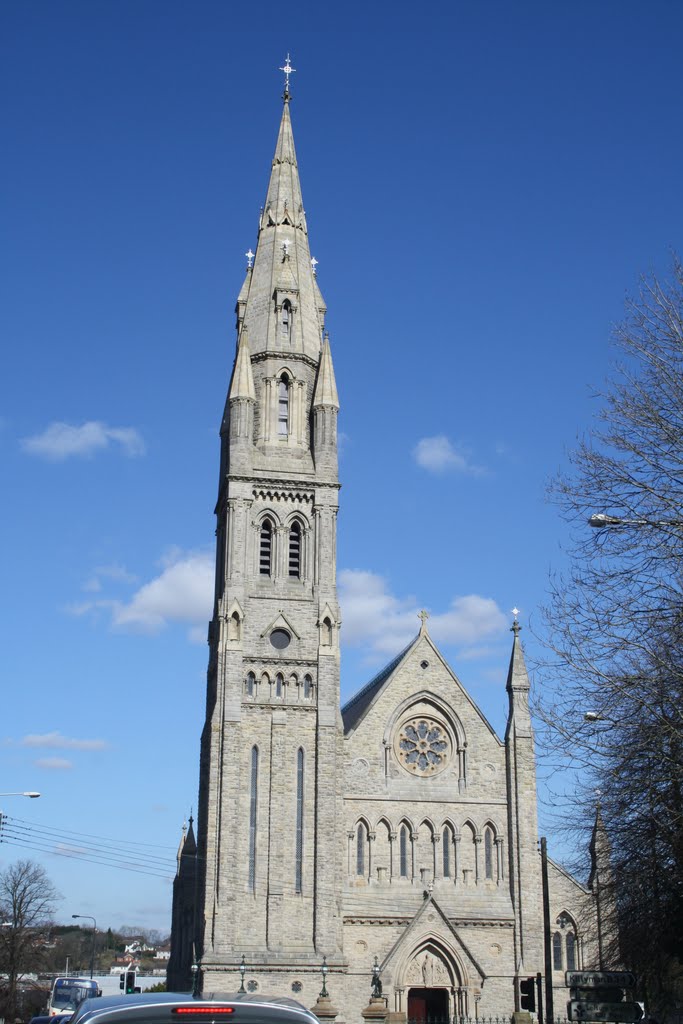
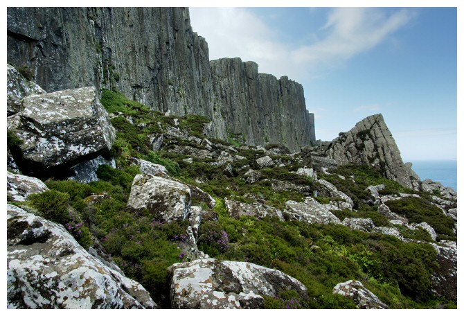
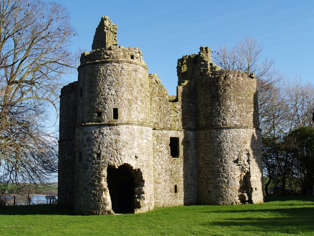
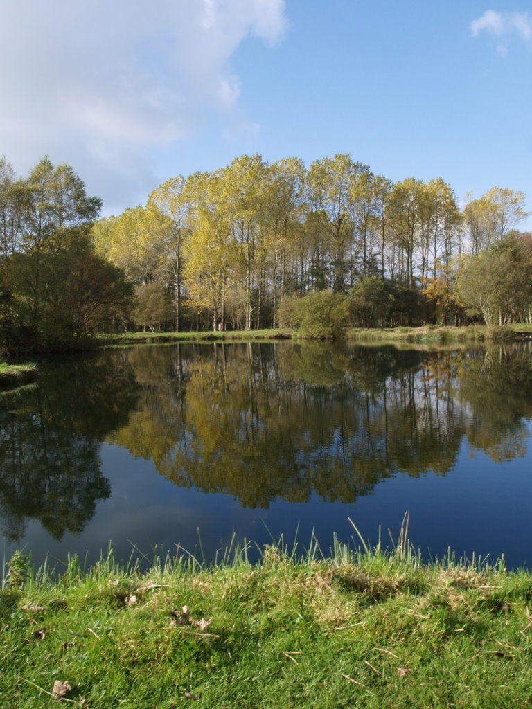
Photos of Brackaville
Brackaville Weather

Predicción: Broken clouds
Temperatura: 10.0°
Humedad: 59%
Hora actual: 11:46 AM
Amanece: 06:19 AM
Anochece: 08:33 PM
Ballyvoy, United Kingdom
Latitude: 55.1996 // Longitude: -6.18648
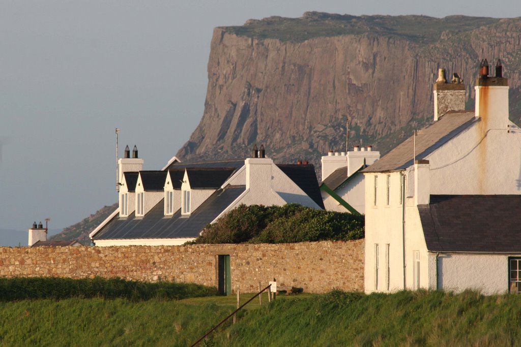
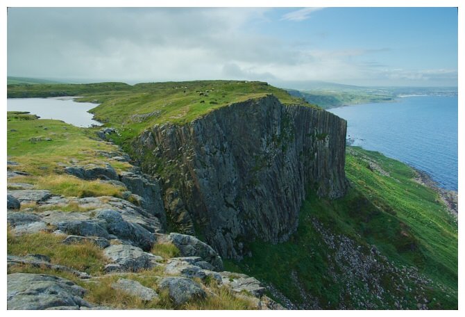
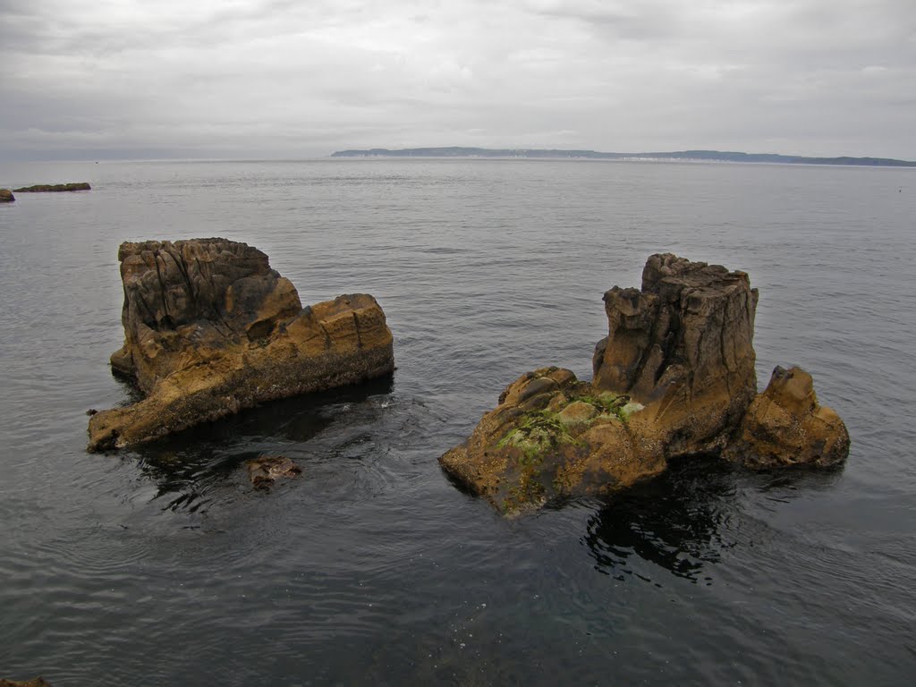
Photos of Ballyvoy
Ballyvoy Weather

Predicción: Broken clouds
Temperatura: 9.6°
Humedad: 70%
Hora actual: 11:46 AM
Amanece: 06:15 AM
Anochece: 08:32 PM





![[Untitled] [Untitled]](/photos/5815799.jpg)
