Distance between  Bottesford and
  Blackwater and Hawley
112.44 mi Straight Distance
146.17 mi Driving Distance
2 hours 13 mins Estimated Driving Time
The straight distance between Bottesford (England) and Blackwater and Hawley (England) is 112.44 mi, but the driving distance is 146.17 mi.
It takes to go from Bottesford to Blackwater and Hawley.
Driving directions from Bottesford to Blackwater and Hawley
Distance in kilometers
Straight distance: 180.92 km. Route distance: 235.19 km
Bottesford, United Kingdom
Latitude: 52.9402 // Longitude: -0.802883
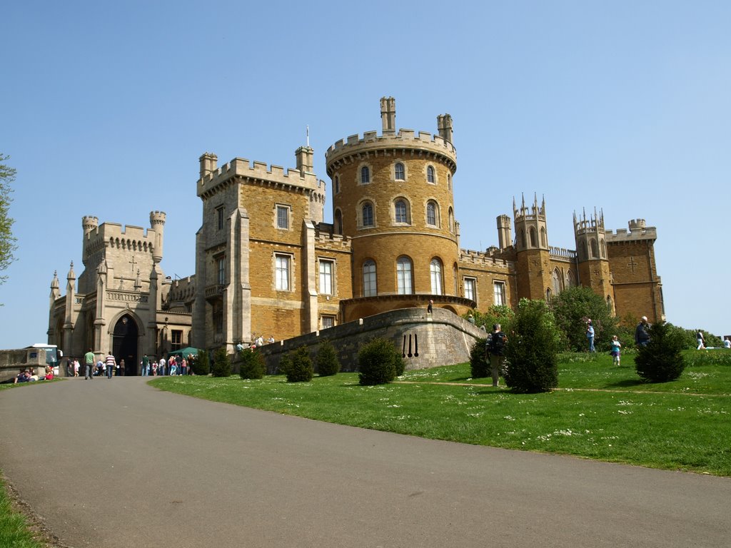
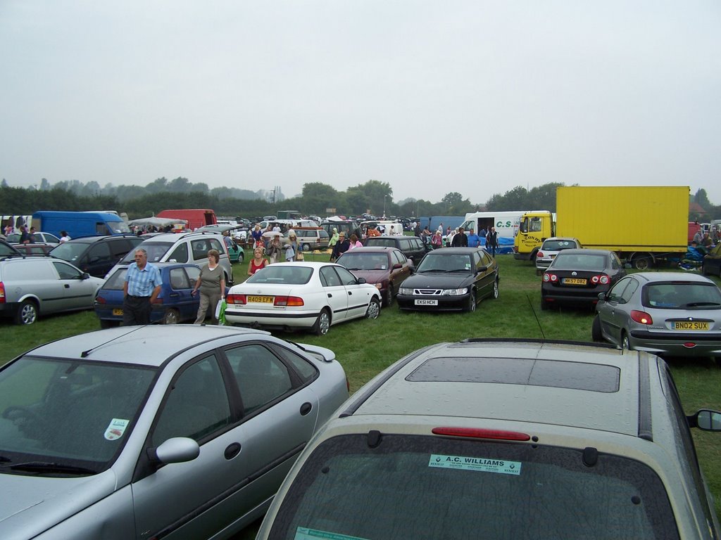
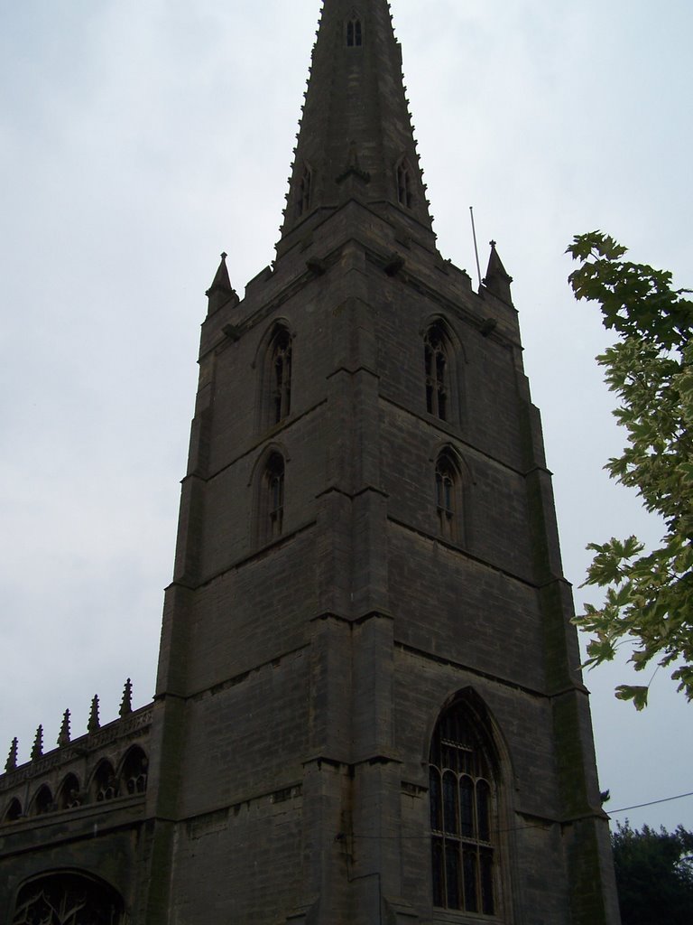
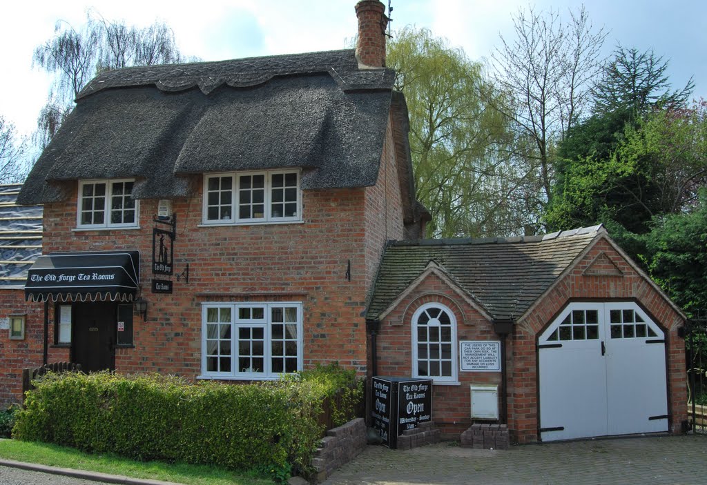
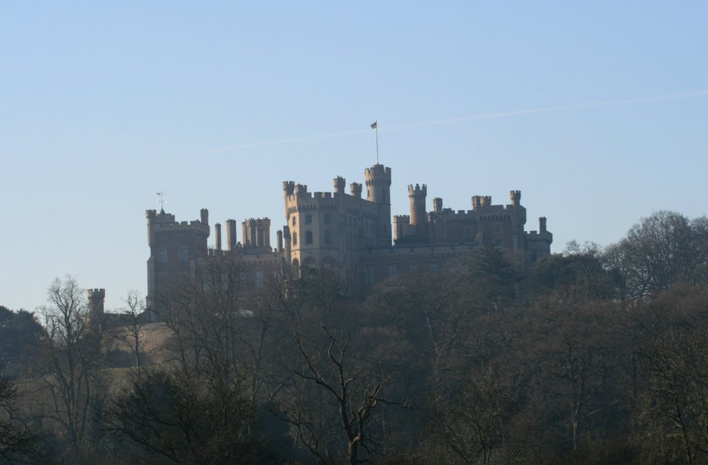
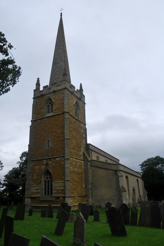
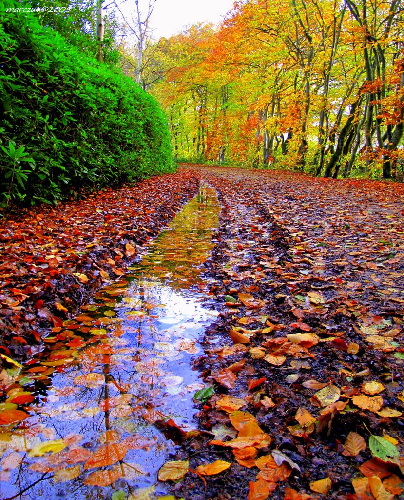
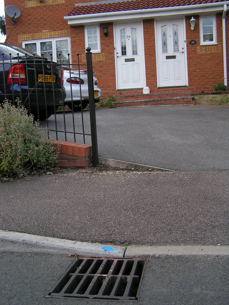
Photos of Bottesford
Bottesford Weather

Predicción: Overcast clouds
Temperatura: 8.9°
Humedad: 93%
Hora actual: 11:28 PM
Amanece: 05:55 AM
Anochece: 08:09 PM
Blackwater and Hawley, United Kingdom
Latitude: 51.3128 // Longitude: -0.810329
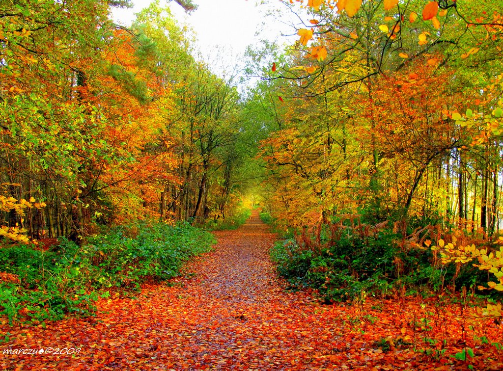
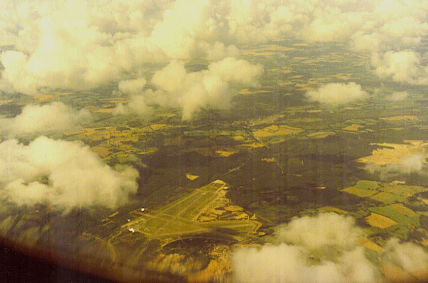
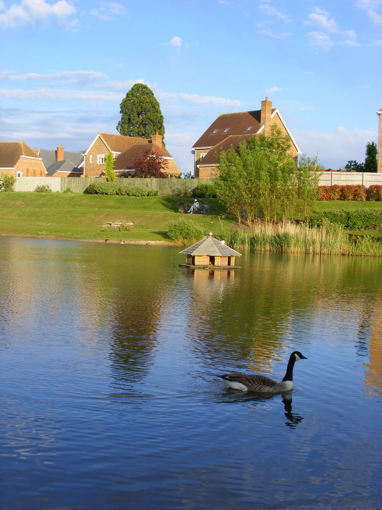
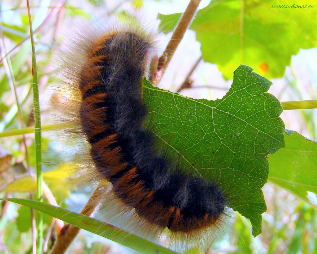
Photos of Blackwater and Hawley
Blackwater and Hawley Weather

Predicción: Light rain
Temperatura: 7.8°
Humedad: 76%
Hora actual: 11:28 PM
Amanece: 05:59 AM
Anochece: 08:05 PM


