Distance between  Blyth and
  Bedford
211.03 mi Straight Distance
245.17 mi Driving Distance
3 hours 43 mins Estimated Driving Time
The straight distance between Blyth (England) and Bedford (England) is 211.03 mi, but the driving distance is 245.17 mi.
It takes 4 hours 3 mins to go from Blyth to Bedford.
Driving directions from Blyth to Bedford
Distance in kilometers
Straight distance: 339.55 km. Route distance: 394.48 km
Blyth, United Kingdom
Latitude: 55.127 // Longitude: -1.51028
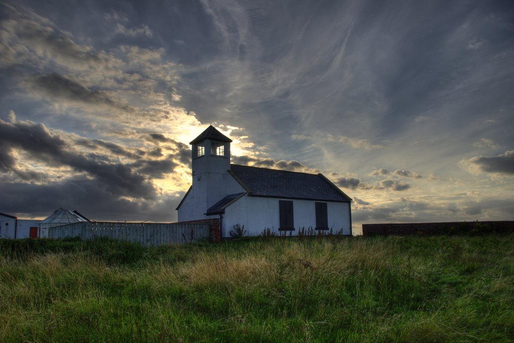
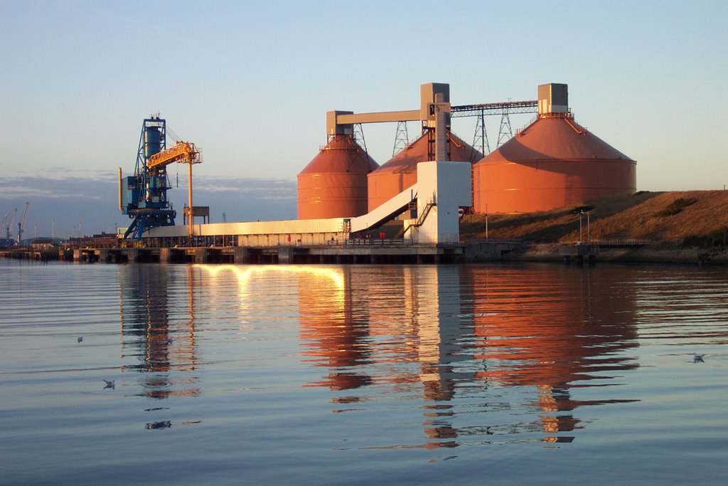
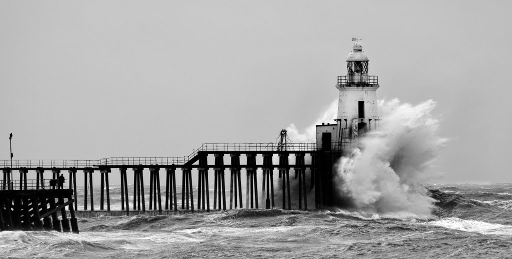
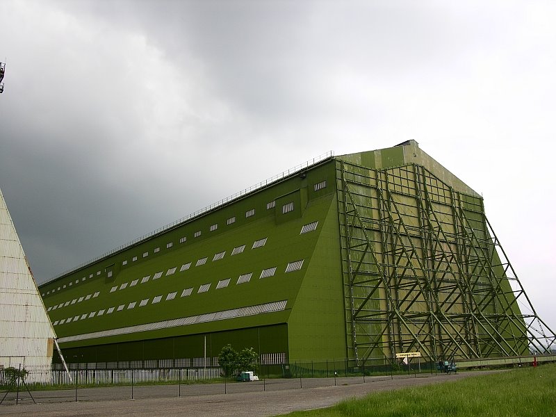
Photos of Blyth
Blyth Weather

Predicción: Broken clouds
Temperatura: 7.1°
Humedad: 80%
Hora actual: 05:29 AM
Amanece: 05:57 AM
Anochece: 08:13 PM
Bedford, United Kingdom
Latitude: 52.136 // Longitude: -0.466655
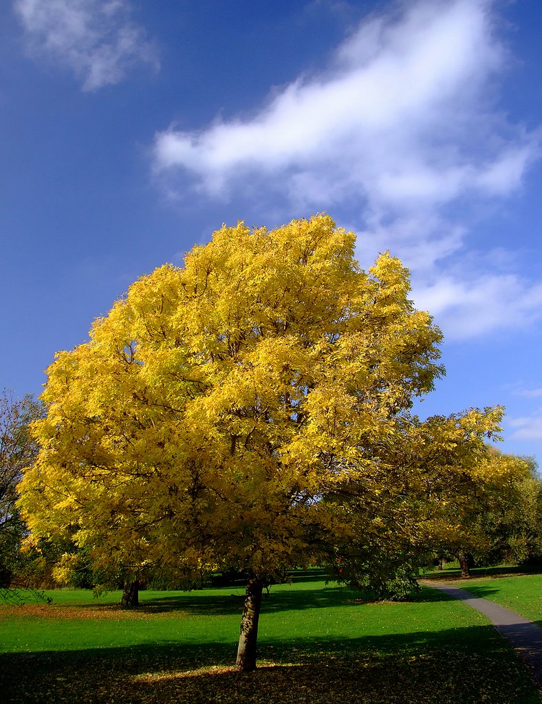
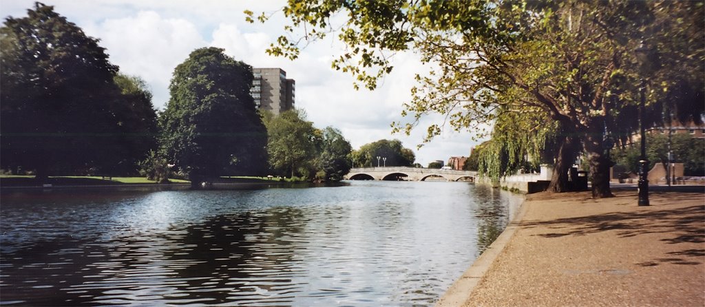
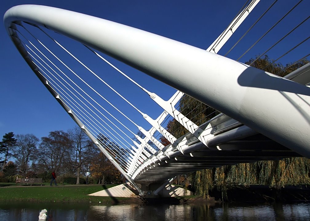
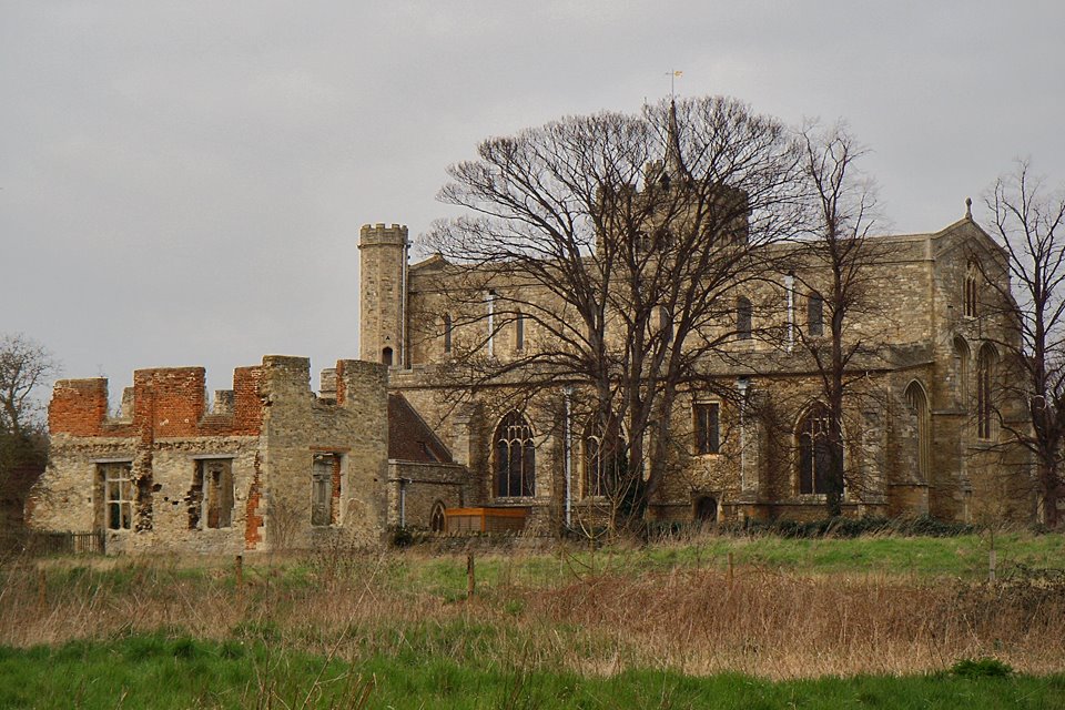
Photos of Bedford
Bedford Weather

Predicción: Scattered clouds
Temperatura: 7.0°
Humedad: 94%
Hora actual: 05:29 AM
Amanece: 06:00 AM
Anochece: 08:02 PM


