Distance between  Blackwater and Hawley and
  Birchwood
162.33 mi Straight Distance
206.44 mi Driving Distance
3 hours 8 mins Estimated Driving Time
The straight distance between Blackwater and Hawley (England) and Birchwood (England) is 162.33 mi, but the driving distance is 206.44 mi.
It takes to go from Blackwater and Hawley to Birchwood.
Driving directions from Blackwater and Hawley to Birchwood
Distance in kilometers
Straight distance: 261.19 km. Route distance: 332.16 km
Blackwater and Hawley, United Kingdom
Latitude: 51.3128 // Longitude: -0.810329
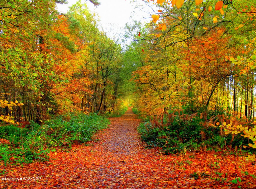
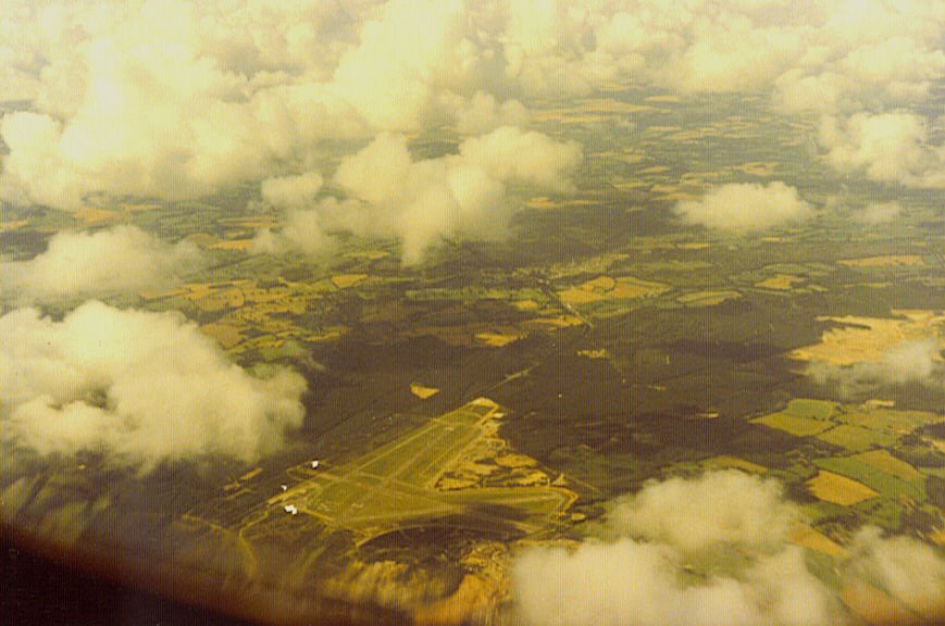
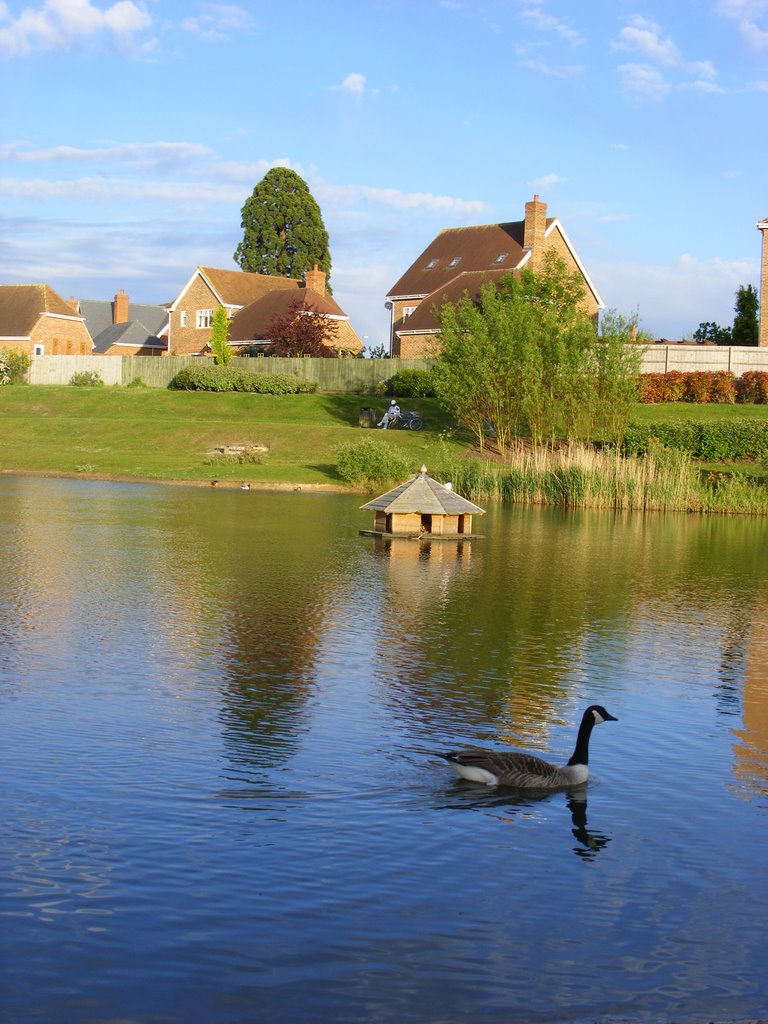
Photos of Blackwater and Hawley
Blackwater and Hawley Weather

Predicción: Broken clouds
Temperatura: 8.0°
Humedad: 73%
Hora actual: 05:32 AM
Amanece: 06:03 AM
Anochece: 08:02 PM
Birchwood, United Kingdom
Latitude: 53.4166 // Longitude: -2.52386
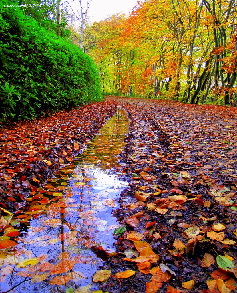
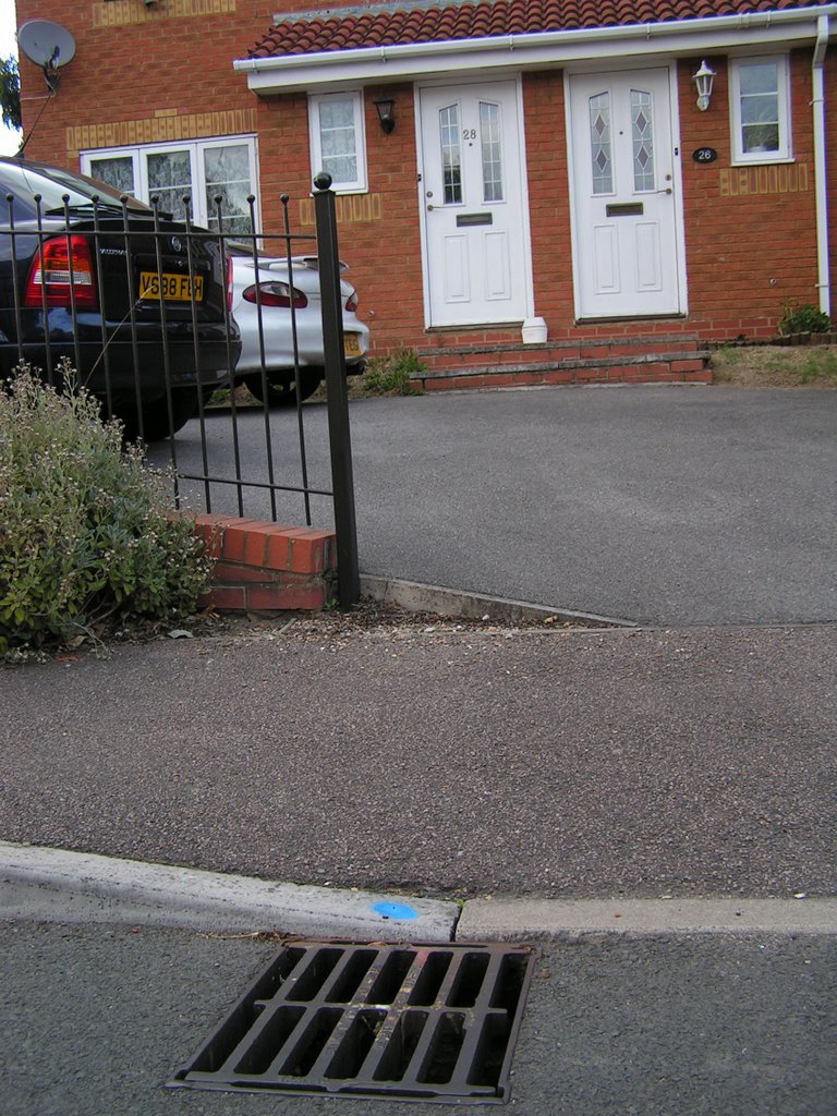
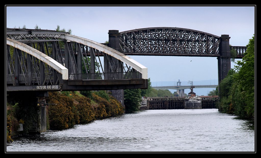
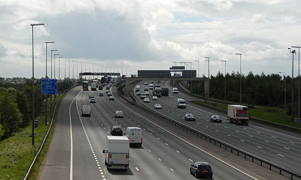
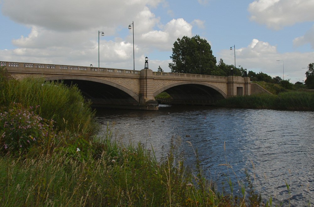
Photos of Birchwood
Birchwood Weather

Predicción: Scattered clouds
Temperatura: 7.8°
Humedad: 85%
Hora actual: 05:32 AM
Amanece: 06:05 AM
Anochece: 08:13 PM


