Distance between  Bingham and
  Porthcawl
154.54 mi Straight Distance
192.84 mi Driving Distance
2 hours 59 mins Estimated Driving Time
The straight distance between Bingham (England) and Porthcawl (Wales) is 154.54 mi, but the driving distance is 192.84 mi.
It takes to go from Bingham to Porthcawl.
Driving directions from Bingham to Porthcawl
Distance in kilometers
Straight distance: 248.65 km. Route distance: 310.28 km
Bingham, United Kingdom
Latitude: 52.9511 // Longitude: -0.956144
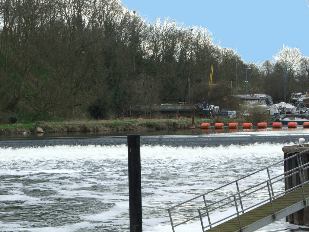
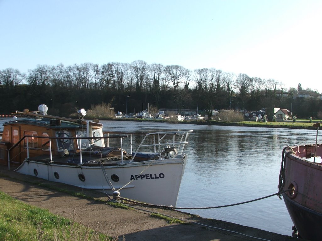
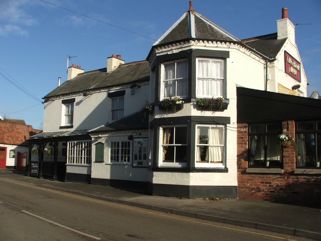
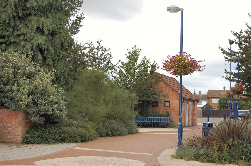
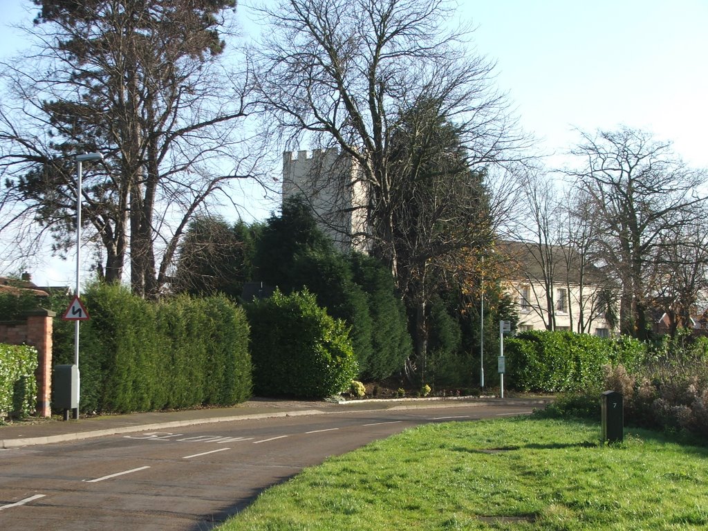
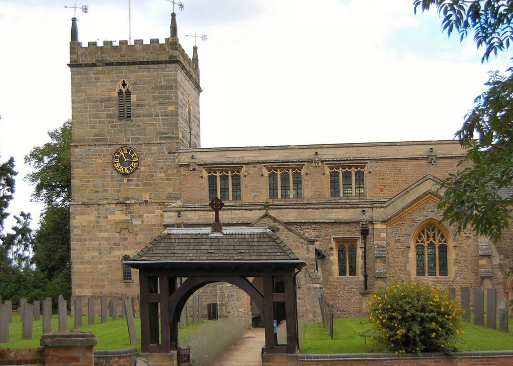
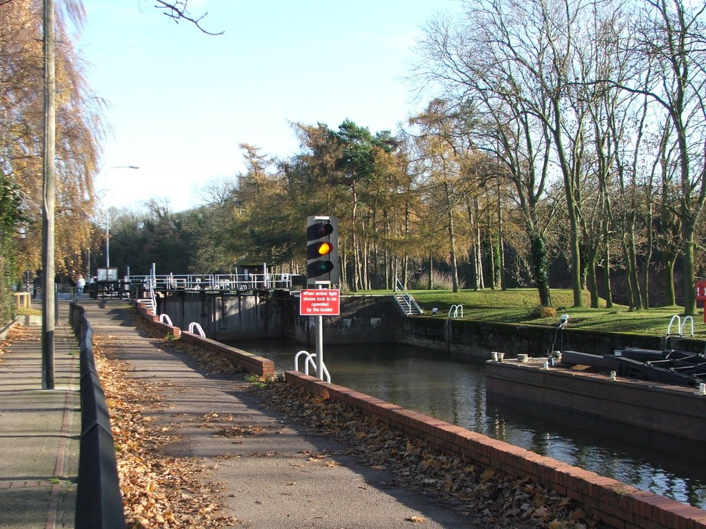
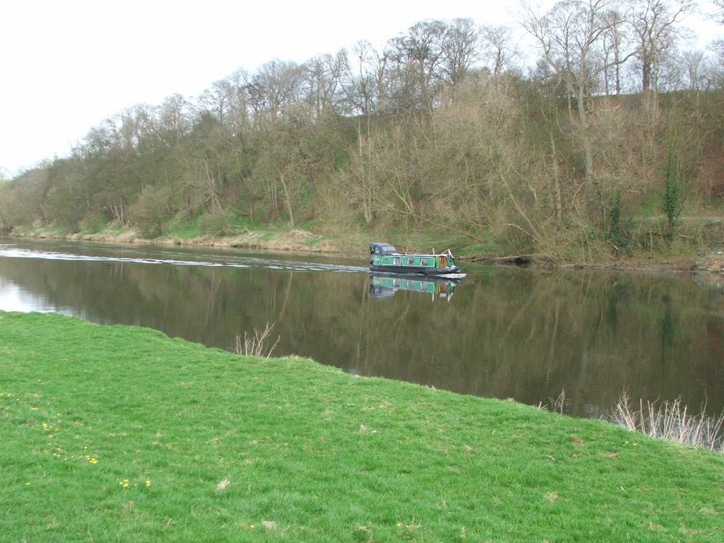
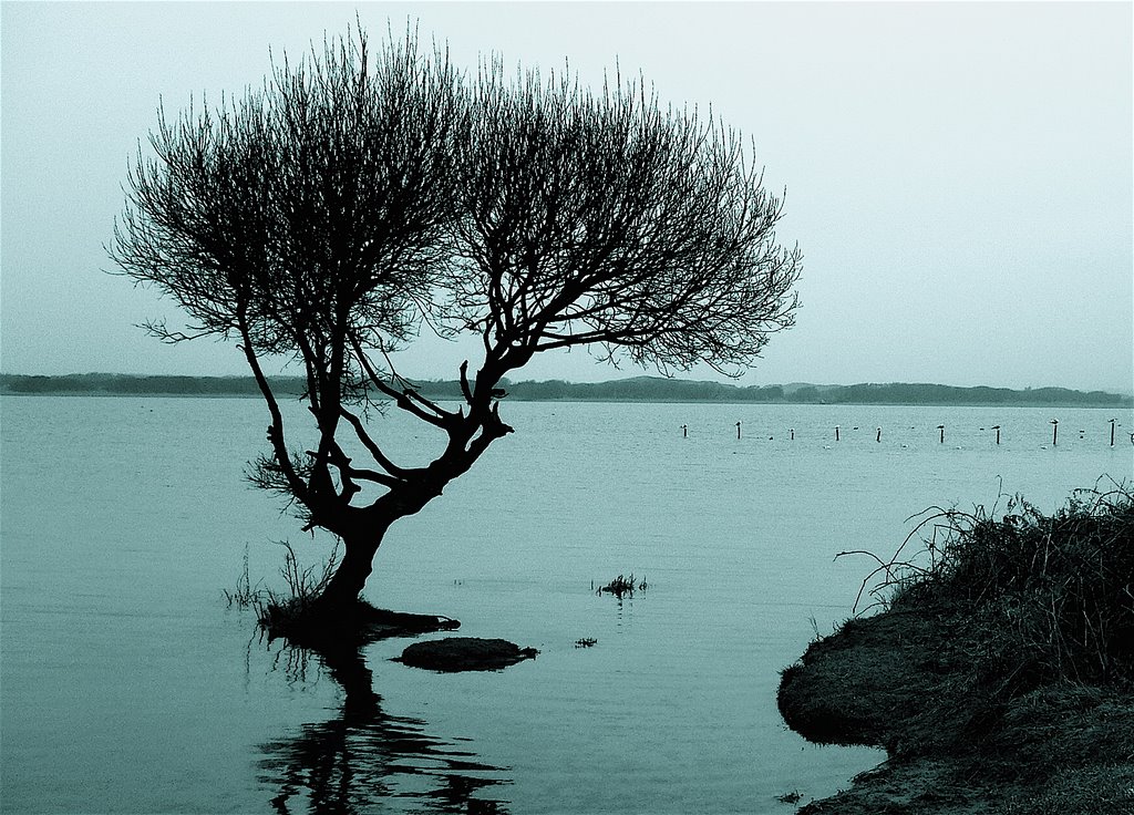
Photos of Bingham
Bingham Weather

Predicción: Overcast clouds
Temperatura: 10.5°
Humedad: 68%
Hora actual: 10:49 AM
Amanece: 06:00 AM
Anochece: 08:06 PM
Porthcawl, United Kingdom
Latitude: 51.479 // Longitude: -3.70516
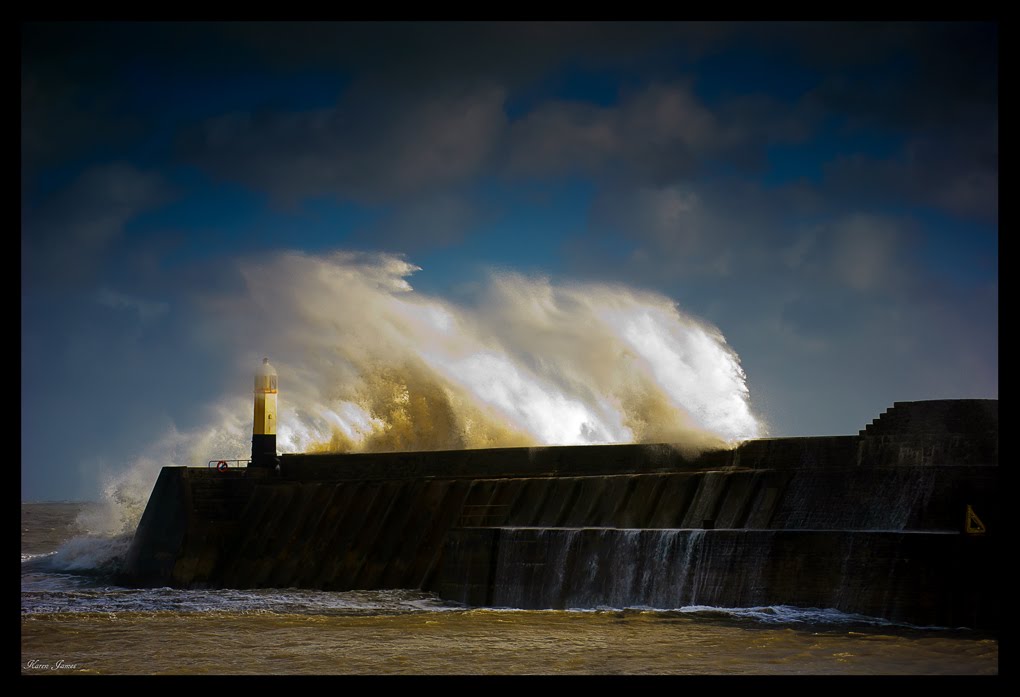
Photos of Porthcawl
Porthcawl Weather

Predicción: Broken clouds
Temperatura: 10.7°
Humedad: 76%
Hora actual: 10:49 AM
Amanece: 06:14 AM
Anochece: 08:14 PM


