Distance between  Bilston and
  St Asaph
74.47 mi Straight Distance
94.84 mi Driving Distance
1 hour 37 mins Estimated Driving Time
The straight distance between Bilston (England) and St Asaph (Wales) is 74.47 mi, but the driving distance is 94.84 mi.
It takes to go from Bilston to St Asaph.
Driving directions from Bilston to St Asaph
Distance in kilometers
Straight distance: 119.81 km. Route distance: 152.59 km
Bilston, United Kingdom
Latitude: 52.5656 // Longitude: -2.07409
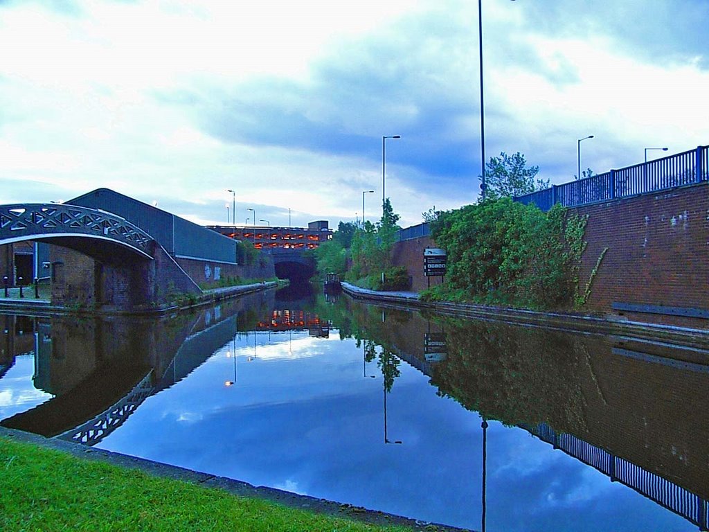
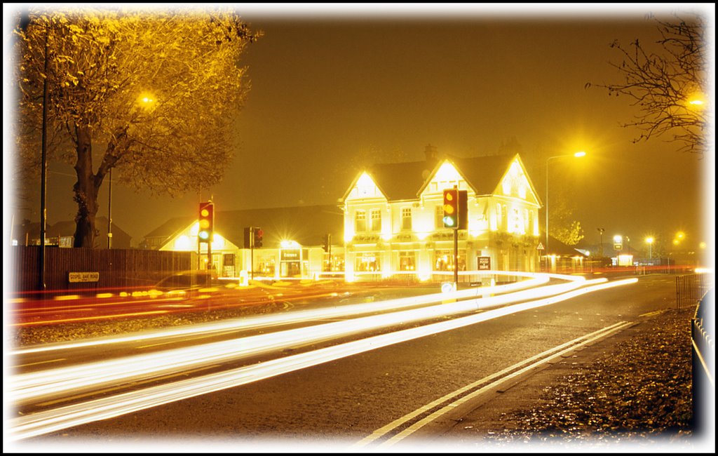
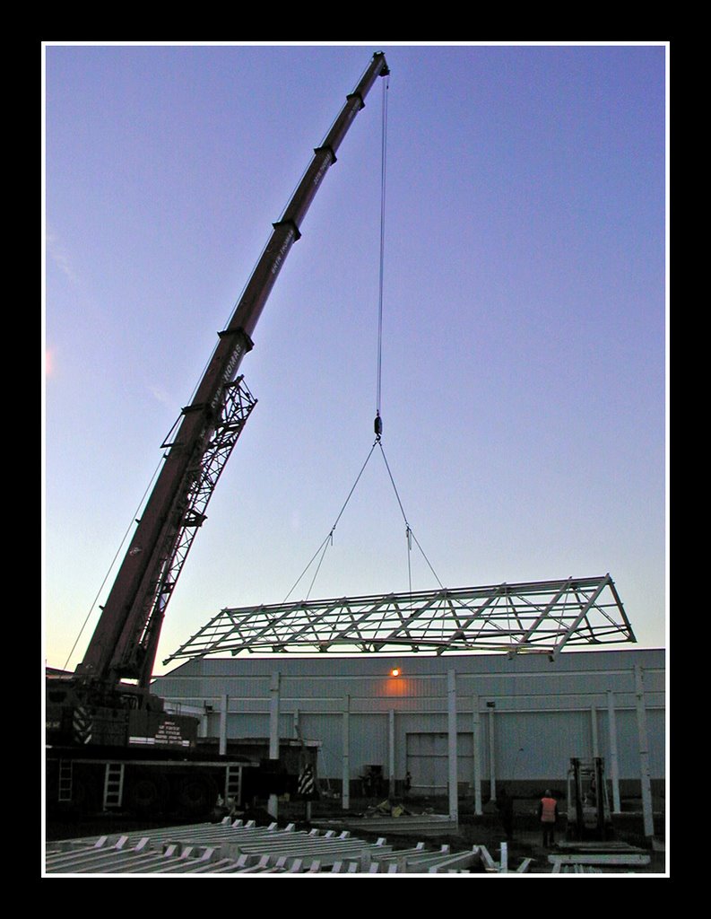
Photos of Bilston
Bilston Weather

Predicción: Overcast clouds
Temperatura: 7.2°
Humedad: 86%
Hora actual: 04:58 AM
Amanece: 06:05 AM
Anochece: 08:10 PM
St Asaph, United Kingdom
Latitude: 53.258 // Longitude: -3.44373
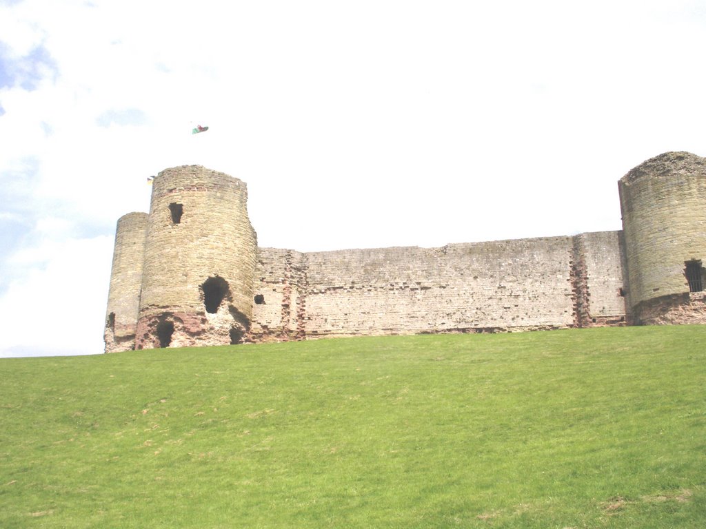
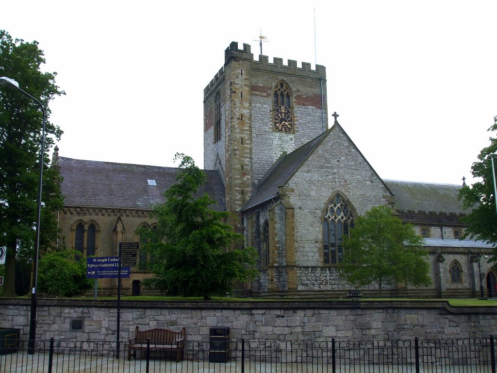
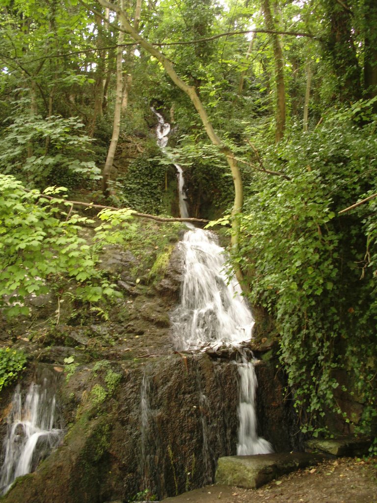
Photos of St Asaph
St Asaph Weather

Predicción: Broken clouds
Temperatura: 8.7°
Humedad: 81%
Hora actual: 04:58 AM
Amanece: 06:09 AM
Anochece: 08:17 PM


