Distance between  Berwick-upon-Tweed and
  Alcester
245.68 mi Straight Distance
287.35 mi Driving Distance
4 hours 32 mins Estimated Driving Time
The straight distance between Berwick-upon-Tweed (England) and Alcester (England) is 245.68 mi, but the driving distance is 287.35 mi.
It takes to go from Berwick-upon-Tweed to Alcester.
Driving directions from Berwick-upon-Tweed to Alcester
Distance in kilometers
Straight distance: 395.30 km. Route distance: 462.35 km
Berwick-upon-Tweed, United Kingdom
Latitude: 55.7702 // Longitude: -2.00539
Photos of Berwick-upon-Tweed
Berwick-upon-Tweed Weather

Predicción: Clear sky
Temperatura: 8.3°
Humedad: 60%
Hora actual: 10:33 AM
Amanece: 05:57 AM
Anochece: 08:17 PM
Alcester, United Kingdom
Latitude: 52.2153 // Longitude: -1.8676
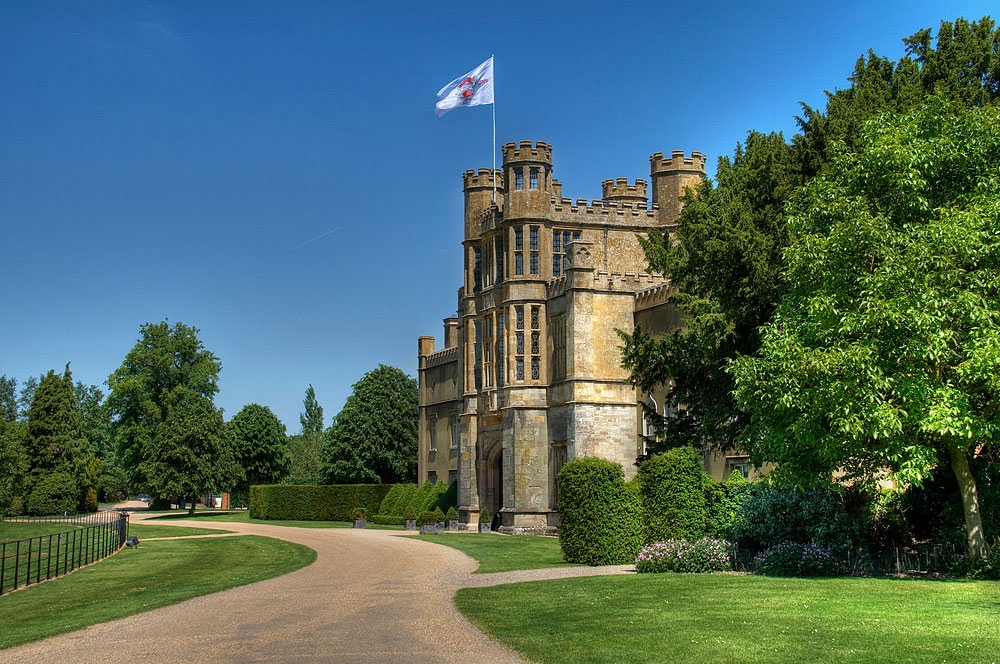
Photos of Alcester
Alcester Weather

Predicción: Overcast clouds
Temperatura: 10.8°
Humedad: 65%
Hora actual: 10:33 AM
Amanece: 06:05 AM
Anochece: 08:08 PM


