Distance between  Berkeley and
  Bethesda
122.98 mi Straight Distance
169.81 mi Driving Distance
3 hours 3 mins Estimated Driving Time
The straight distance between Berkeley (England) and Bethesda (Wales) is 122.98 mi, but the driving distance is 169.81 mi.
It takes to go from Berkeley to Bethesda.
Driving directions from Berkeley to Bethesda
Distance in kilometers
Straight distance: 197.88 km. Route distance: 273.23 km
Berkeley, United Kingdom
Latitude: 51.6907 // Longitude: -2.45682
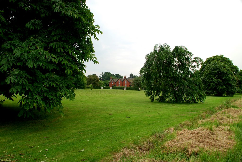
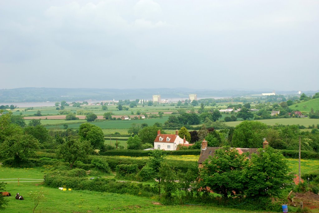
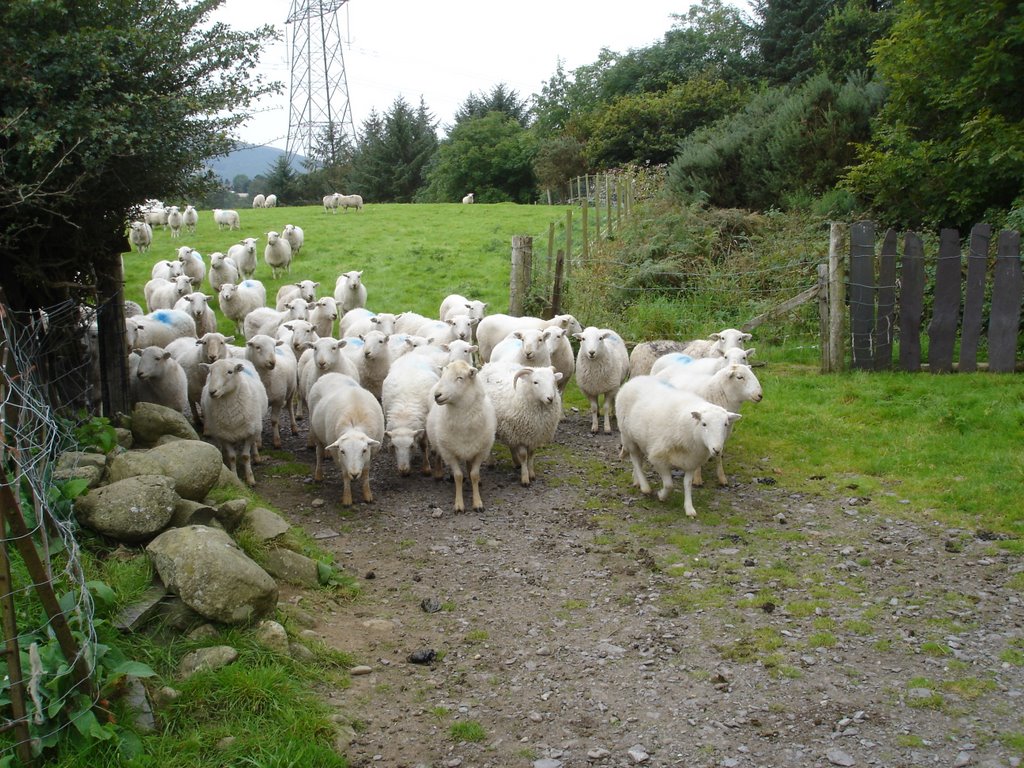
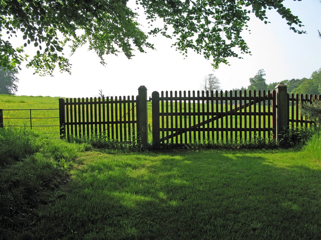
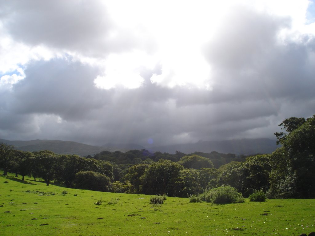
Photos of Berkeley
Berkeley Weather

Predicción: Scattered clouds
Temperatura: 12.5°
Humedad: 54%
Hora actual: 05:20 PM
Amanece: 06:09 AM
Anochece: 08:09 PM
Bethesda, United Kingdom
Latitude: 53.1789 // Longitude: -4.05883
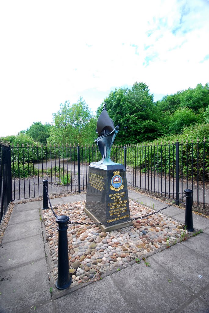
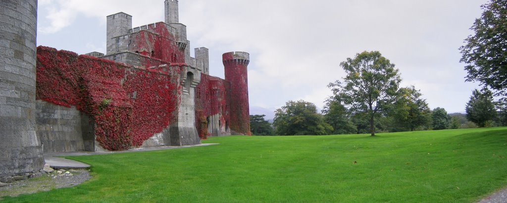
Photos of Bethesda
Bethesda Weather

Predicción: Clear sky
Temperatura: 9.3°
Humedad: 70%
Hora actual: 05:20 PM
Amanece: 06:12 AM
Anochece: 08:19 PM


