Distance between  Belcoo and
  Annahilt
75.96 mi Straight Distance
88.60 mi Driving Distance
1 hour 31 mins Estimated Driving Time
The straight distance between Belcoo (Northern Ireland) and Annahilt (Northern Ireland) is 75.96 mi, but the driving distance is 88.60 mi.
It takes 1 hour 48 mins to go from Belcoo to Annahilt.
Driving directions from Belcoo to Annahilt
Distance in kilometers
Straight distance: 122.22 km. Route distance: 142.55 km
Belcoo, United Kingdom
Latitude: 54.2965 // Longitude: -7.87145
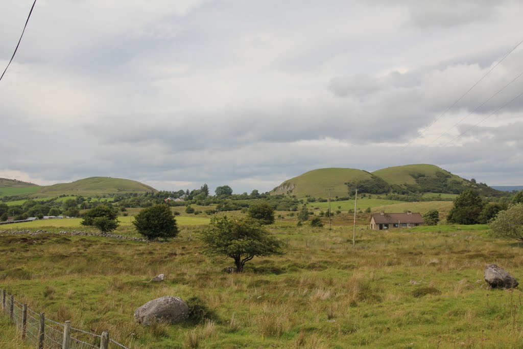
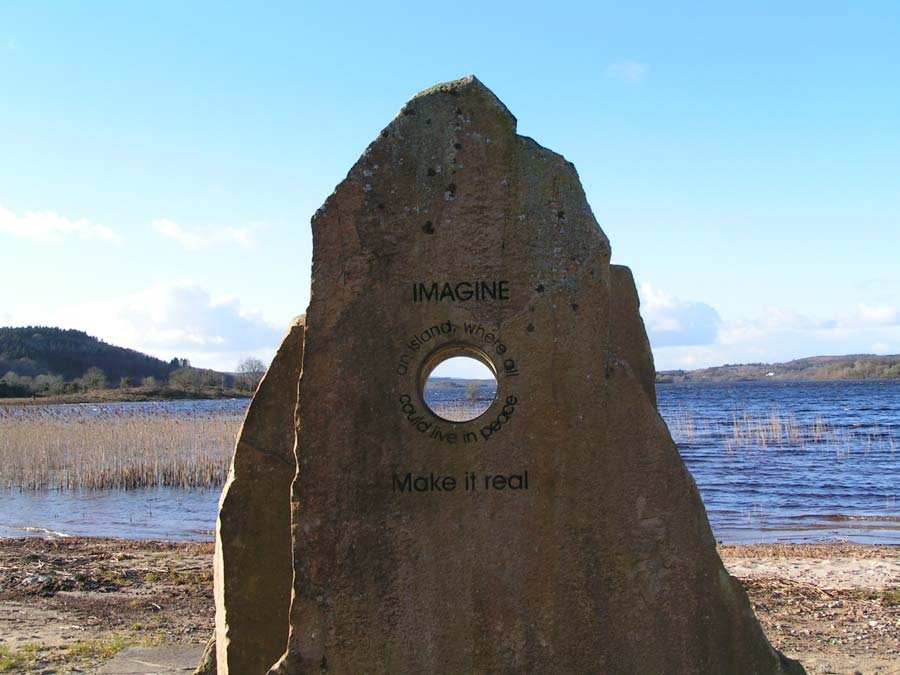
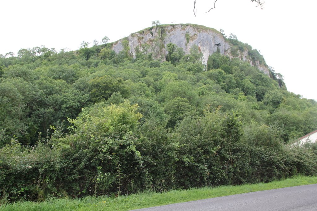
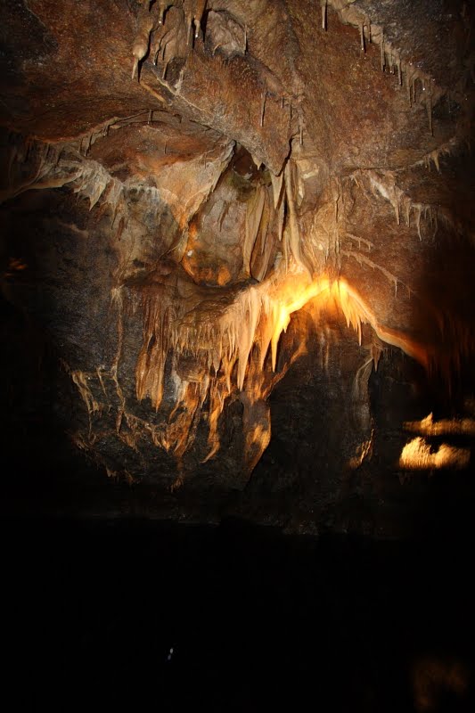
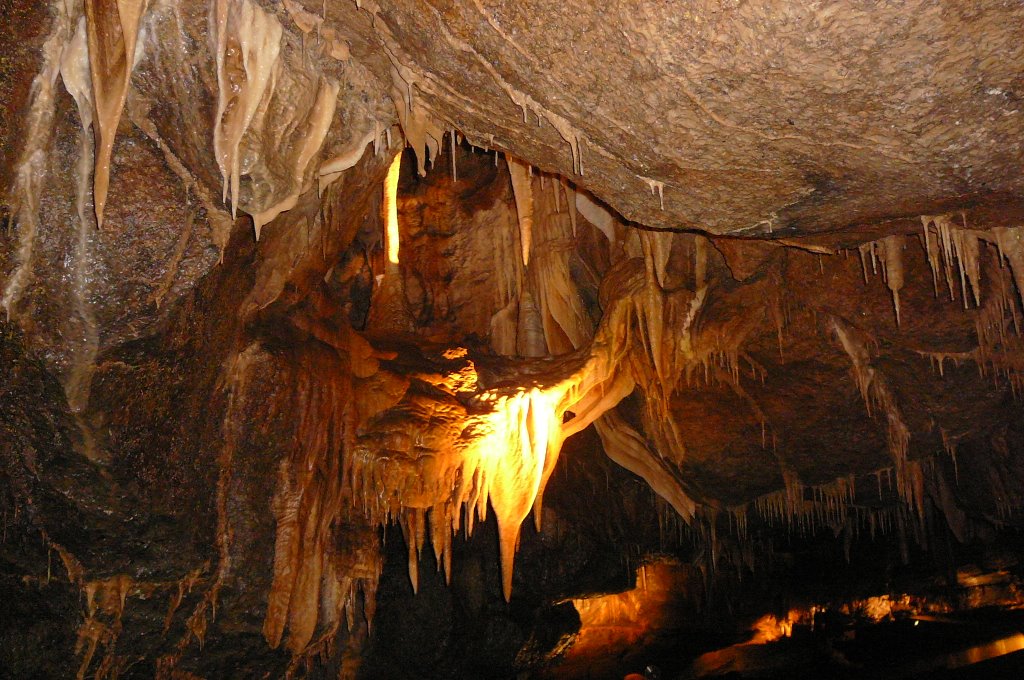
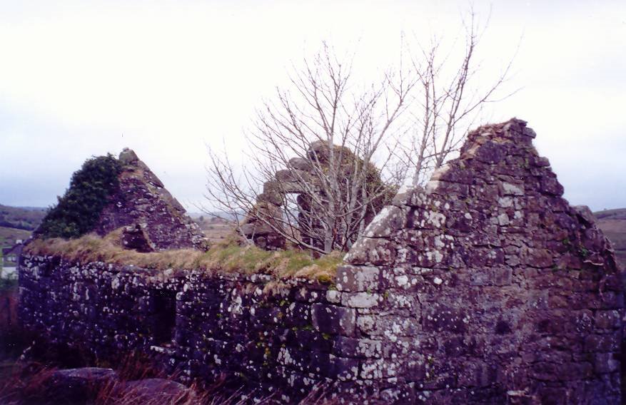
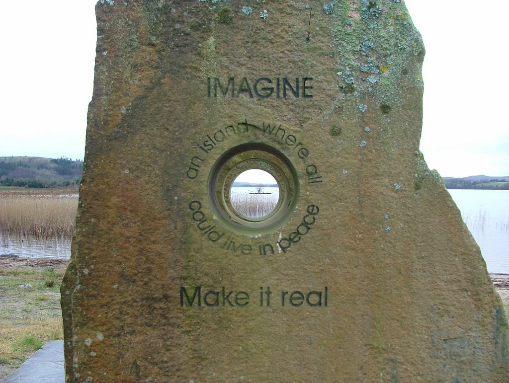
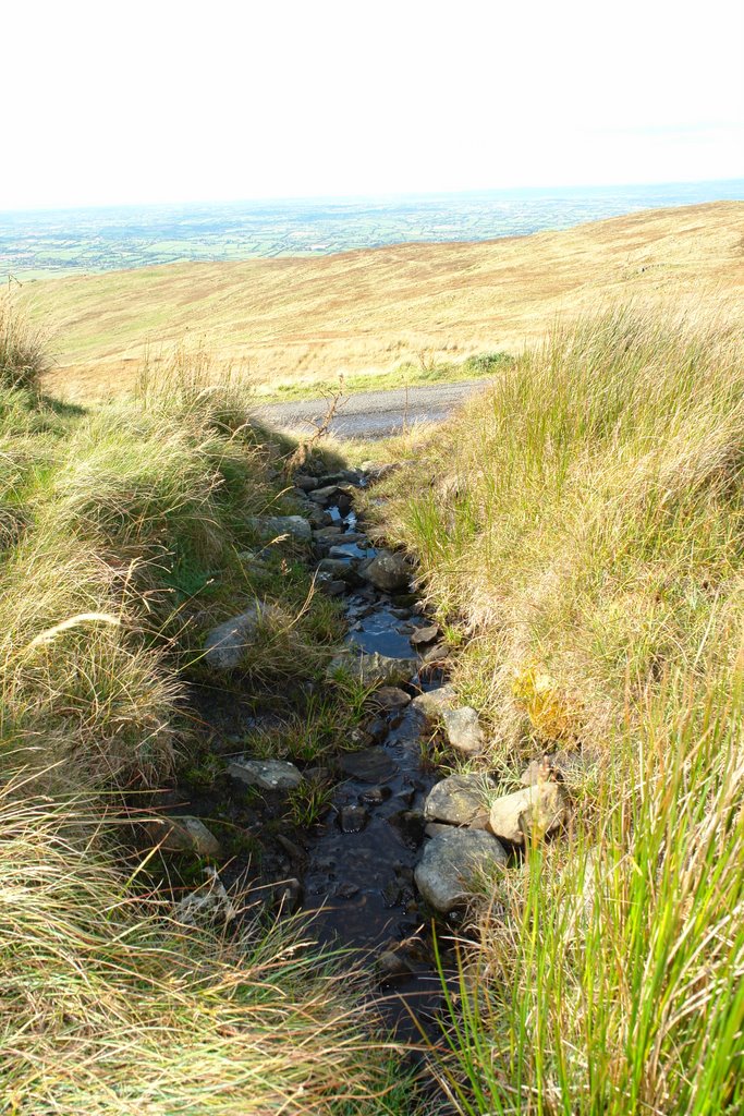
Photos of Belcoo
Belcoo Weather

Predicción: Overcast clouds
Temperatura: 9.5°
Humedad: 95%
Hora actual: 12:00 AM
Amanece: 05:17 AM
Anochece: 07:43 PM
Annahilt, United Kingdom
Latitude: 54.4369 // Longitude: -5.99977
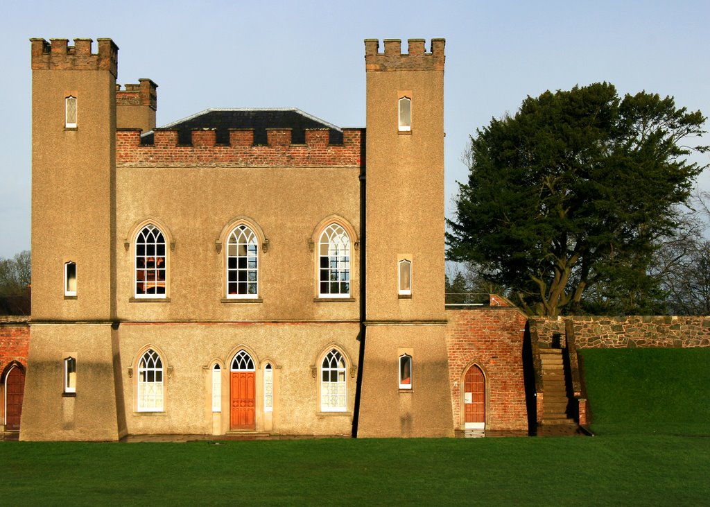
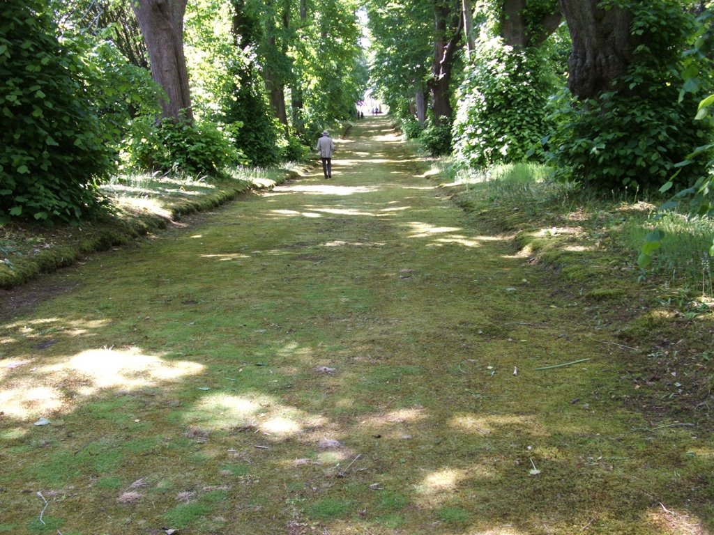
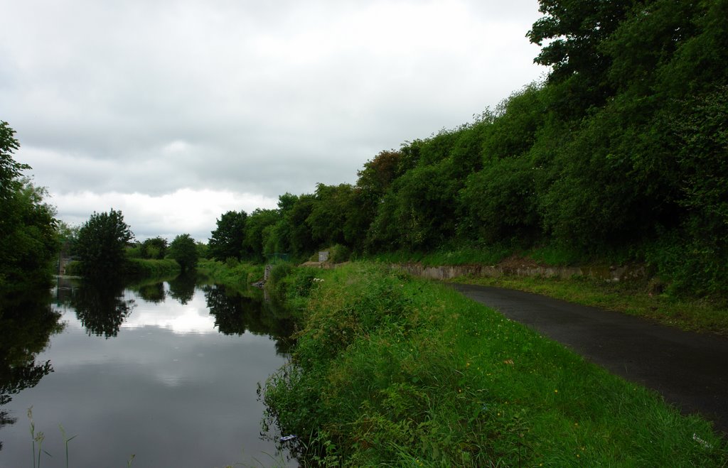
Photos of Annahilt
Annahilt Weather

Predicción: Overcast clouds
Temperatura: 9.2°
Humedad: 94%
Hora actual: 02:27 AM
Amanece: 06:09 AM
Anochece: 08:35 PM


