Distance between  Bawtry and
  Treharris
155.32 mi Straight Distance
199.45 mi Driving Distance
3 hours 21 mins Estimated Driving Time
The straight distance between Bawtry (England) and Treharris (Wales) is 155.32 mi, but the driving distance is 199.45 mi.
It takes to go from Bawtry to Treharris.
Driving directions from Bawtry to Treharris
Distance in kilometers
Straight distance: 249.91 km. Route distance: 320.91 km
Bawtry, United Kingdom
Latitude: 53.4313 // Longitude: -1.01851
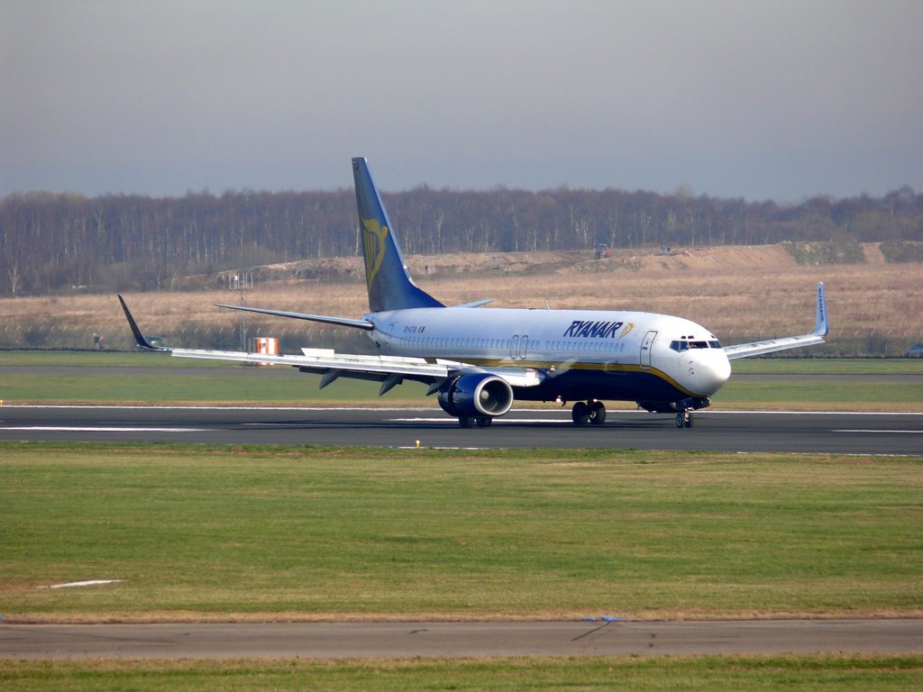
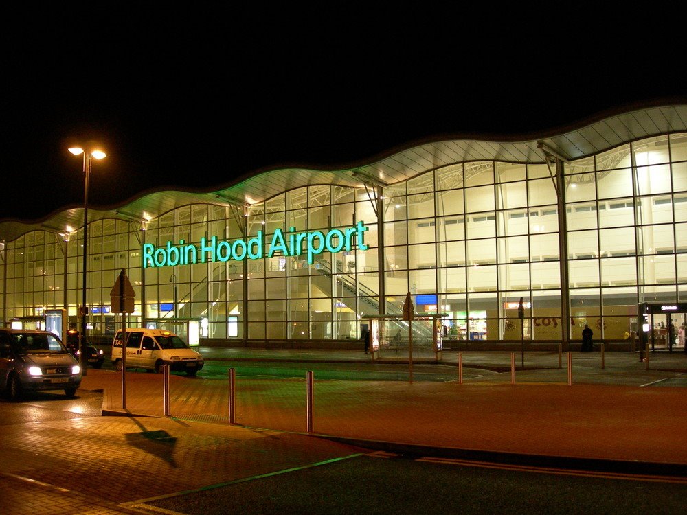
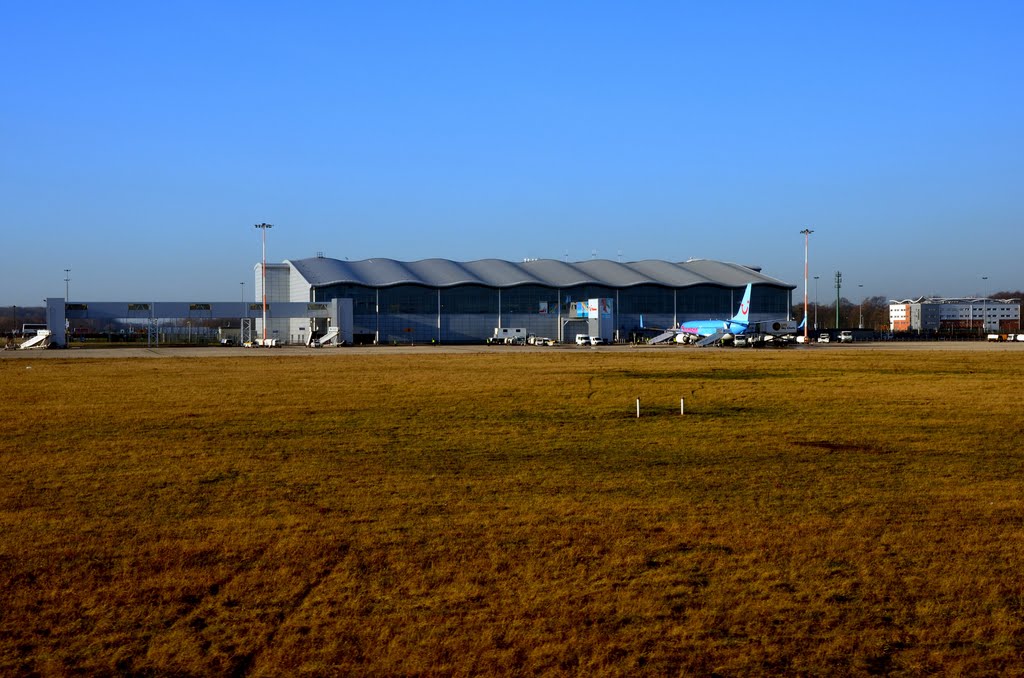
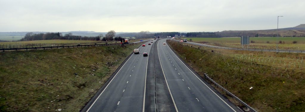
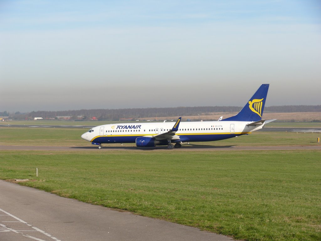
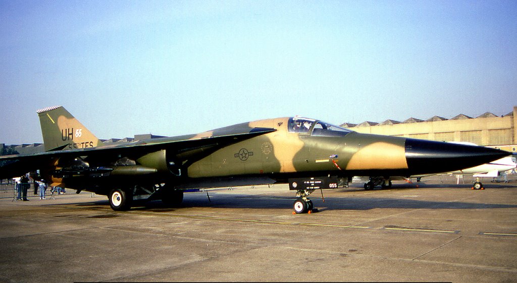
Photos of Bawtry
Bawtry Weather

Predicción: Broken clouds
Temperatura: 5.6°
Humedad: 80%
Hora actual: 10:34 PM
Amanece: 05:59 AM
Anochece: 08:07 PM
Treharris, United Kingdom
Latitude: 51.665 // Longitude: -3.30586
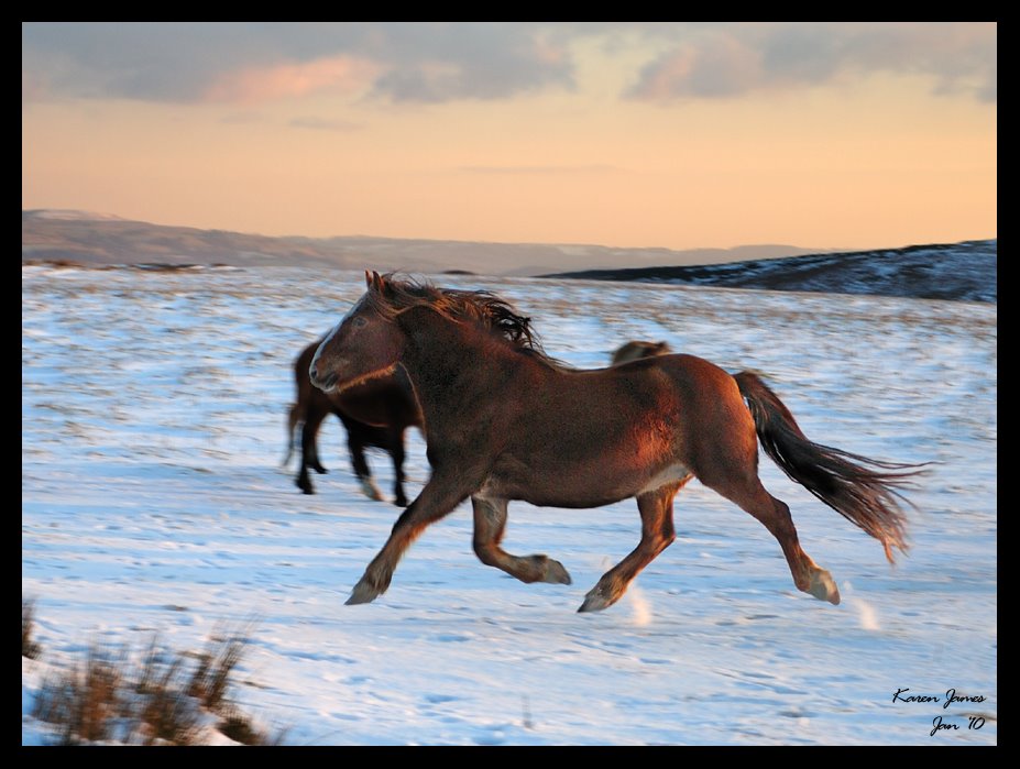
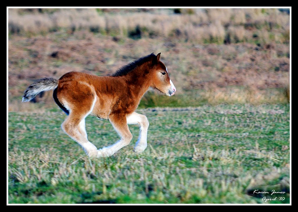
Photos of Treharris
Treharris Weather

Predicción: Clear sky
Temperatura: 6.3°
Humedad: 80%
Hora actual: 10:34 PM
Amanece: 06:12 AM
Anochece: 08:13 PM


