Distance between  Ballyhalbert and
  Armagh
48.91 mi Straight Distance
62.44 mi Driving Distance
1 hour 13 mins Estimated Driving Time
The straight distance between Ballyhalbert (Northern Ireland) and Armagh (Northern Ireland) is 48.91 mi, but the driving distance is 62.44 mi.
It takes 1 hour 29 mins to go from Ballyhalbert to Armagh.
Driving directions from Ballyhalbert to Armagh
Distance in kilometers
Straight distance: 78.69 km. Route distance: 100.46 km
Ballyhalbert, United Kingdom
Latitude: 54.496 // Longitude: -5.46156
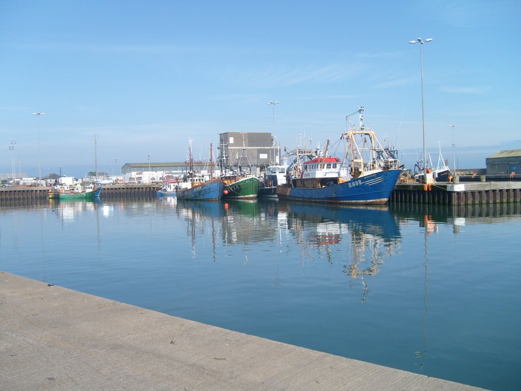
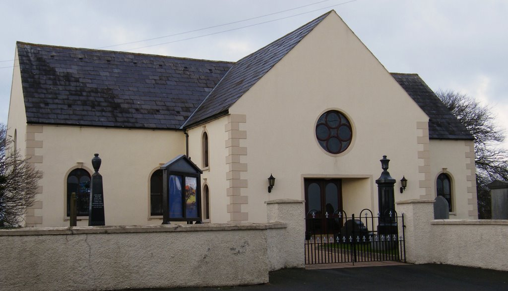
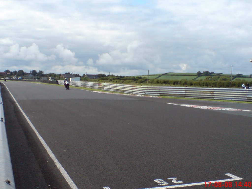
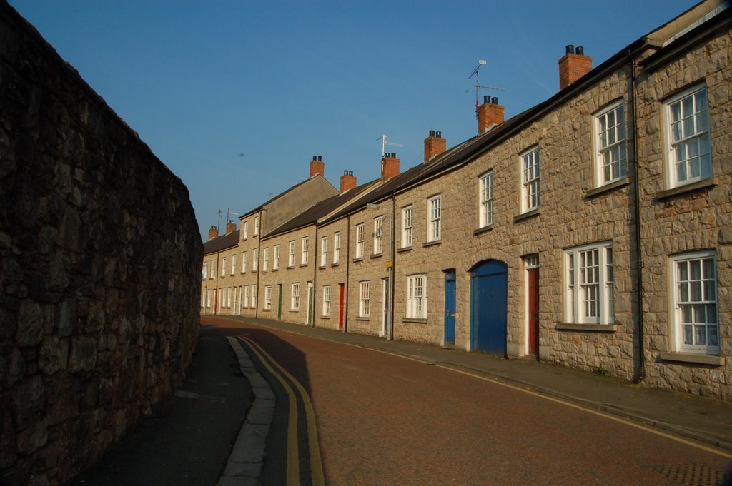
Photos of Ballyhalbert
Ballyhalbert Weather

Predicción: Overcast clouds
Temperatura: 6.7°
Humedad: 80%
Hora actual: 09:16 AM
Amanece: 06:09 AM
Anochece: 08:32 PM
Armagh, United Kingdom
Latitude: 54.3488 // Longitude: -6.65161
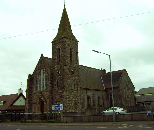
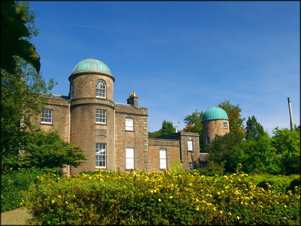
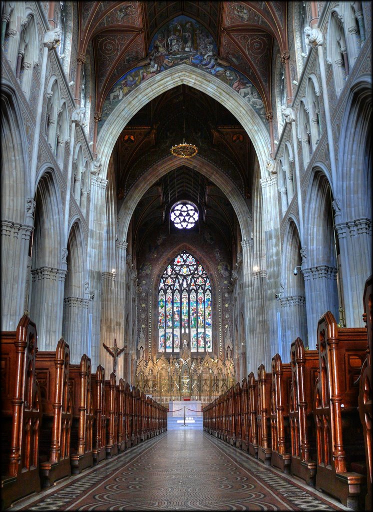
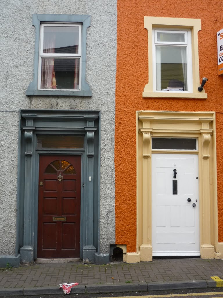
Photos of Armagh
Armagh Weather

Predicción: Overcast clouds
Temperatura: 7.0°
Humedad: 93%
Hora actual: 09:16 AM
Amanece: 06:15 AM
Anochece: 08:36 PM


