Distance between  Ballycarry and
  Newtonmore
170.47 mi Straight Distance
251.46 mi Driving Distance
5 hours 41 mins Estimated Driving Time
The straight distance between Ballycarry (Northern Ireland) and Newtonmore (Scotland) is 170.47 mi, but the driving distance is 251.46 mi.
It takes to go from Ballycarry to Newtonmore.
Driving directions from Ballycarry to Newtonmore
Distance in kilometers
Straight distance: 274.28 km. Route distance: 404.60 km
Ballycarry, United Kingdom
Latitude: 54.7734 // Longitude: -5.74758
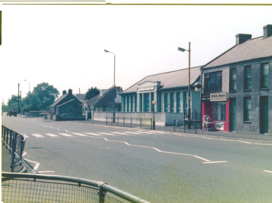
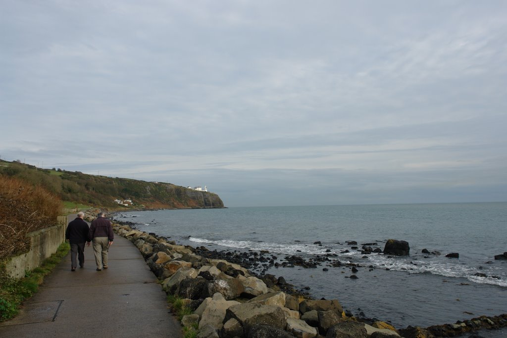
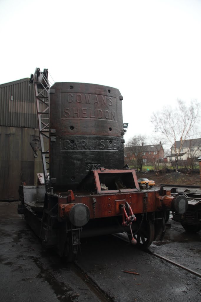
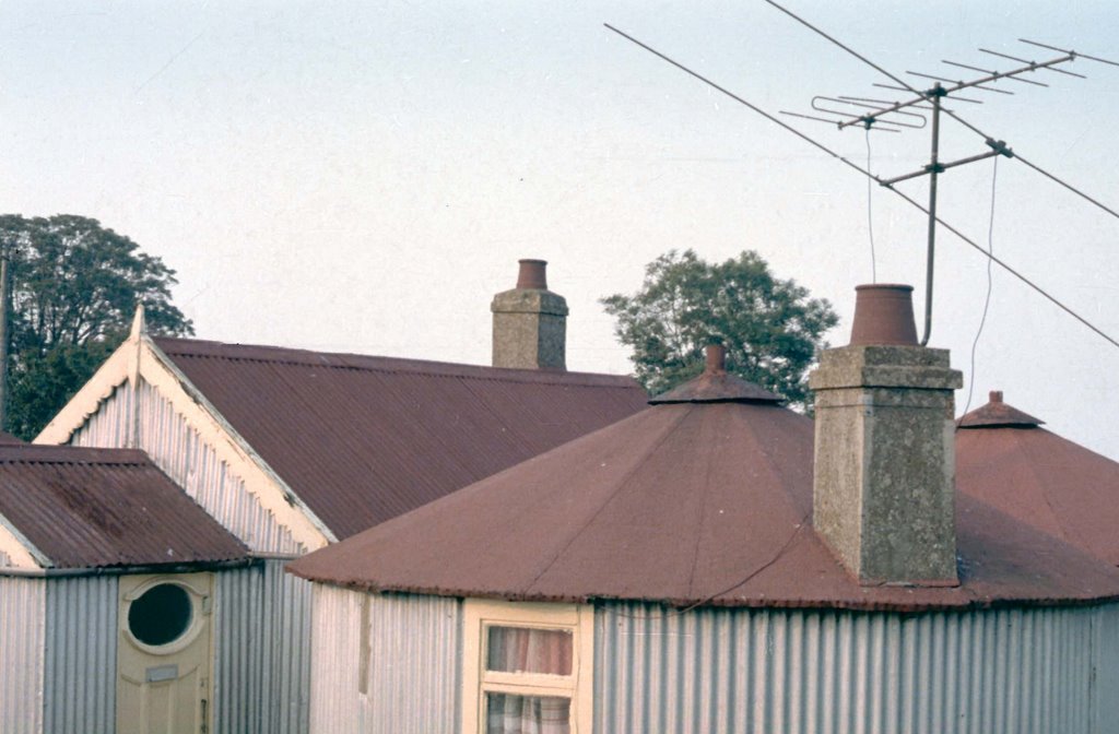
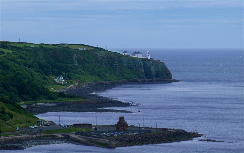
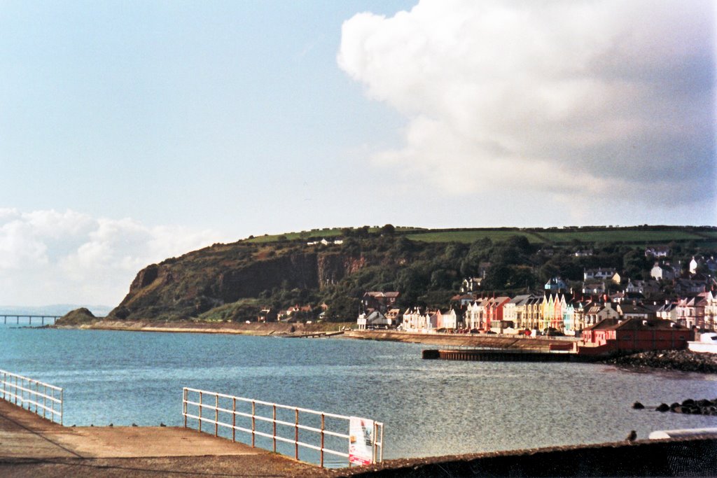
Photos of Ballycarry
Ballycarry Weather

Predicción: Overcast clouds
Temperatura: 10.0°
Humedad: 87%
Hora actual: 07:15 PM
Amanece: 06:10 AM
Anochece: 08:33 PM
Newtonmore, United Kingdom
Latitude: 57.0664 // Longitude: -4.12154
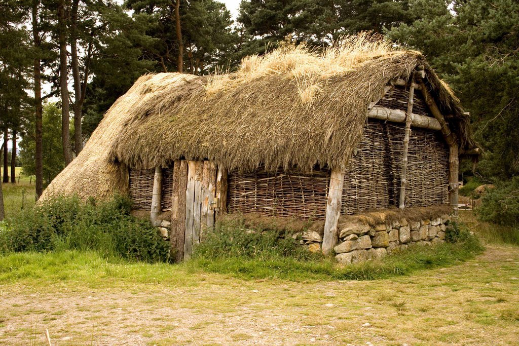
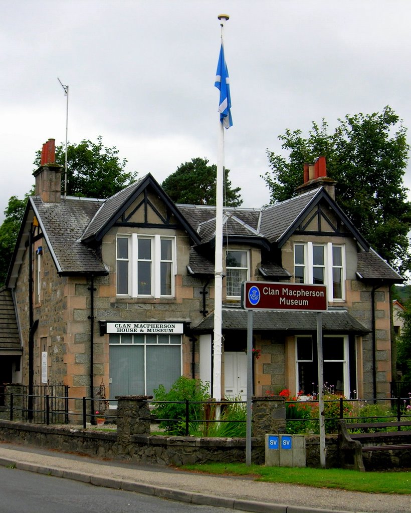
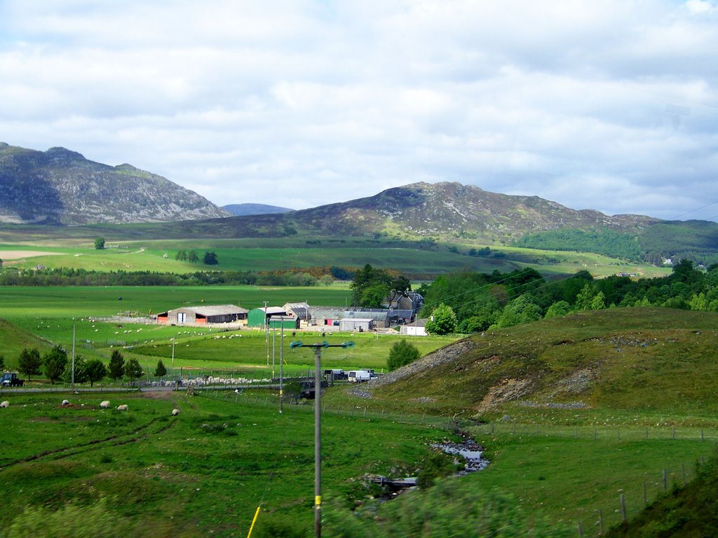
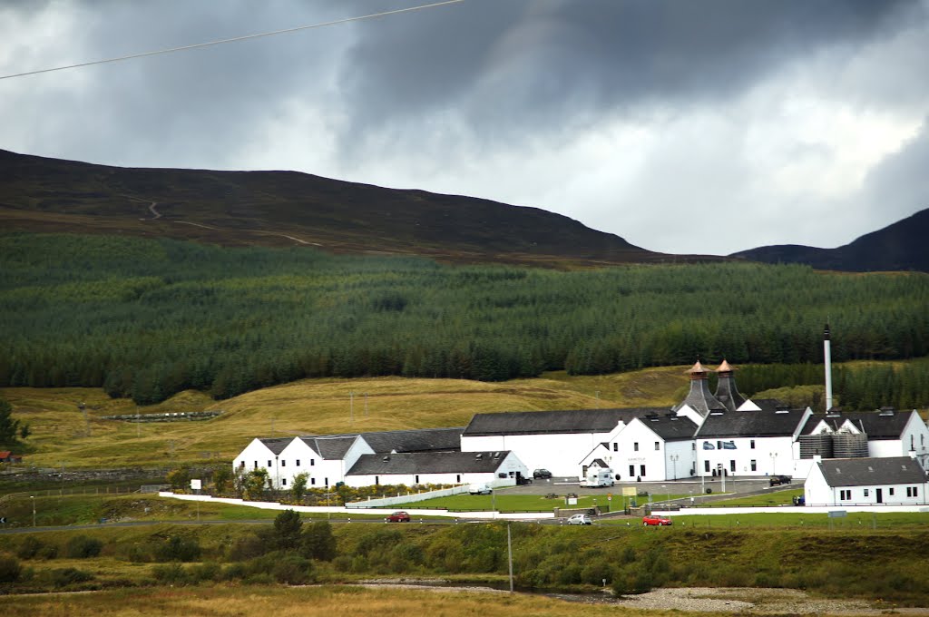
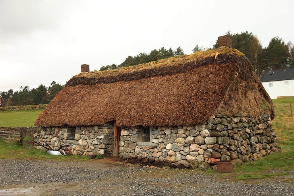
Photos of Newtonmore
Newtonmore Weather

Predicción: Overcast clouds
Temperatura: 7.2°
Humedad: 91%
Hora actual: 07:15 PM
Amanece: 05:57 AM
Anochece: 08:33 PM


