Distance between  Axbridge and
  Whitland
85.54 mi Straight Distance
132.93 mi Driving Distance
2 hours 7 mins Estimated Driving Time
The straight distance between Axbridge (England) and Whitland (Wales) is 85.54 mi, but the driving distance is 132.93 mi.
It takes 2 hours 22 mins to go from Axbridge to Whitland.
Driving directions from Axbridge to Whitland
Distance in kilometers
Straight distance: 137.63 km. Route distance: 213.88 km
Axbridge, United Kingdom
Latitude: 51.2844 // Longitude: -2.81935
Photos of Axbridge
Axbridge Weather

Predicción: Few clouds
Temperatura: 10.6°
Humedad: 66%
Hora actual: 12:17 PM
Amanece: 06:07 AM
Anochece: 08:13 PM
Whitland, United Kingdom
Latitude: 51.8197 // Longitude: -4.61461
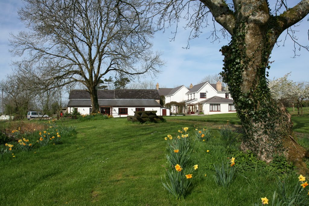
Photos of Whitland
Whitland Weather

Predicción: Scattered clouds
Temperatura: 10.5°
Humedad: 68%
Hora actual: 12:17 PM
Amanece: 06:13 AM
Anochece: 08:22 PM


