Distance between  Altrincham and
  Tywyn
Tywyn
91.07 mi Straight Distance
103.09 mi Driving Distance
1 hour 58 mins Estimated Driving Time
The straight distance between Altrincham (England) and Tywyn (Wales) is 91.07 mi, but the driving distance is 103.09 mi.
It takes to go from Altrincham to Tywyn.
Driving directions from Altrincham to Tywyn
Distance in kilometers
Straight distance: 146.54 km. Route distance: 165.87 km
Altrincham, United Kingdom
Latitude: 53.3902 // Longitude: -2.3509
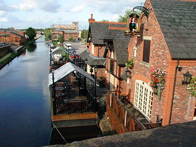
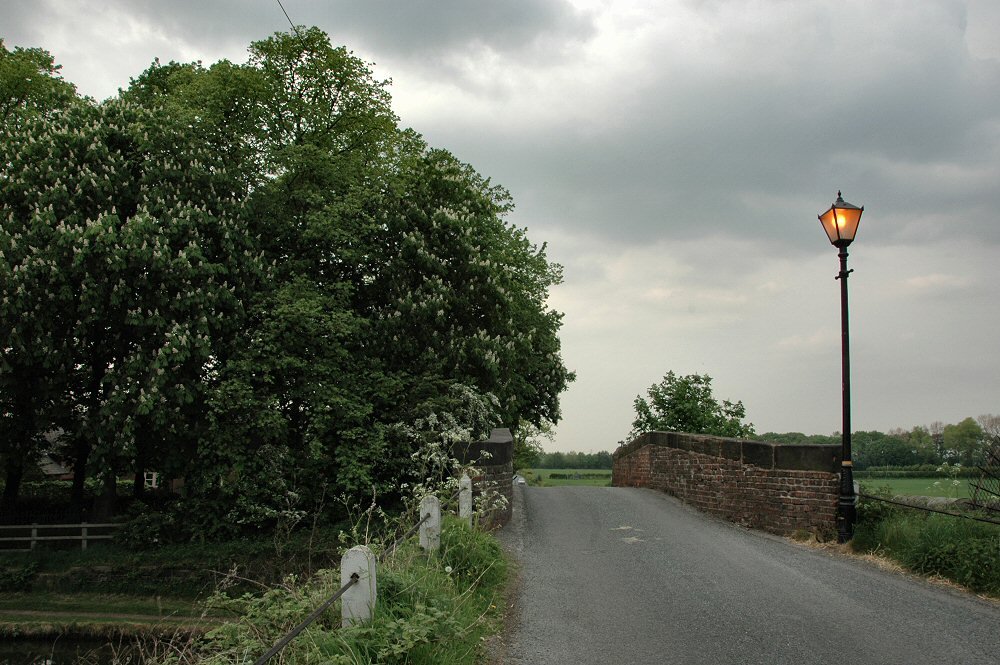
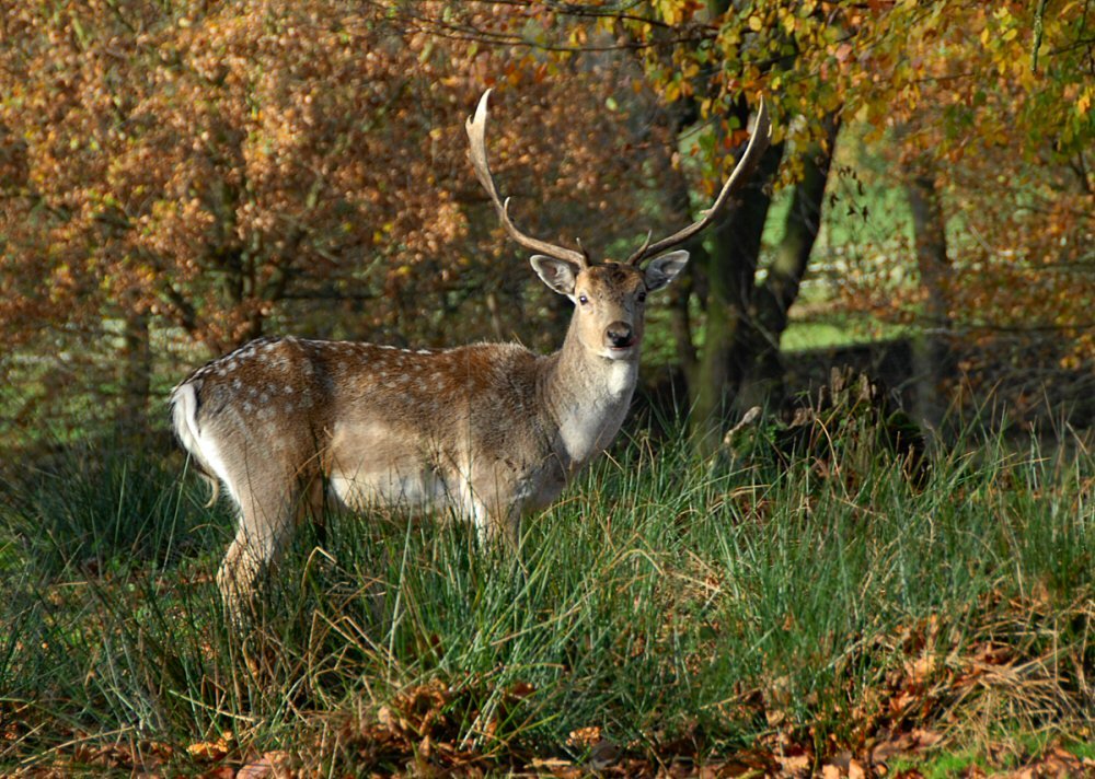
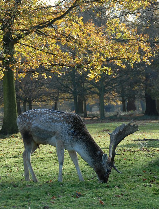
Photos of Altrincham
Altrincham Weather

Predicción: Moderate rain
Temperatura: 12.0°
Humedad: 64%
Hora actual: 01:56 PM
Amanece: 06:04 AM
Anochece: 08:13 PM
Tywyn, United Kingdom
Latitude: 52.587 // Longitude: -4.08725
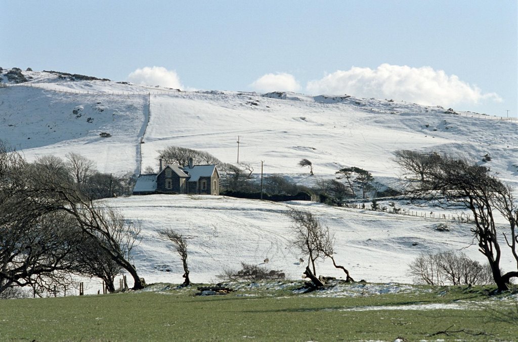
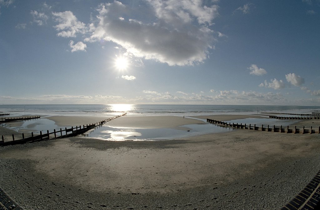
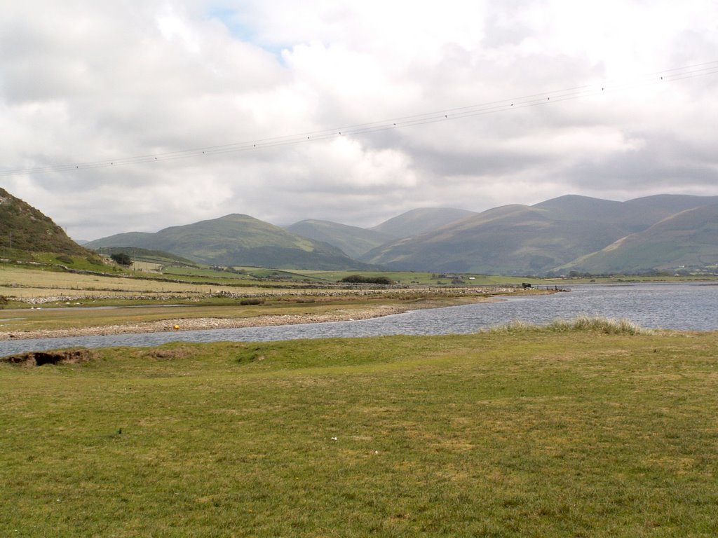
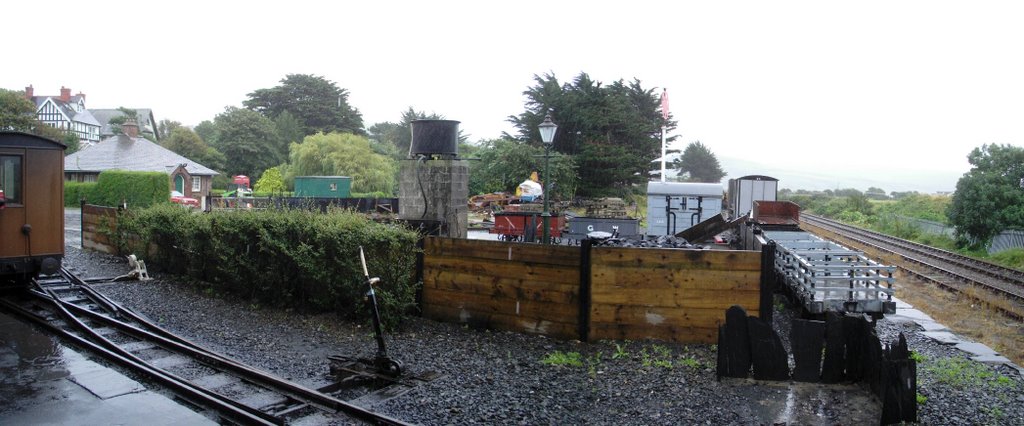
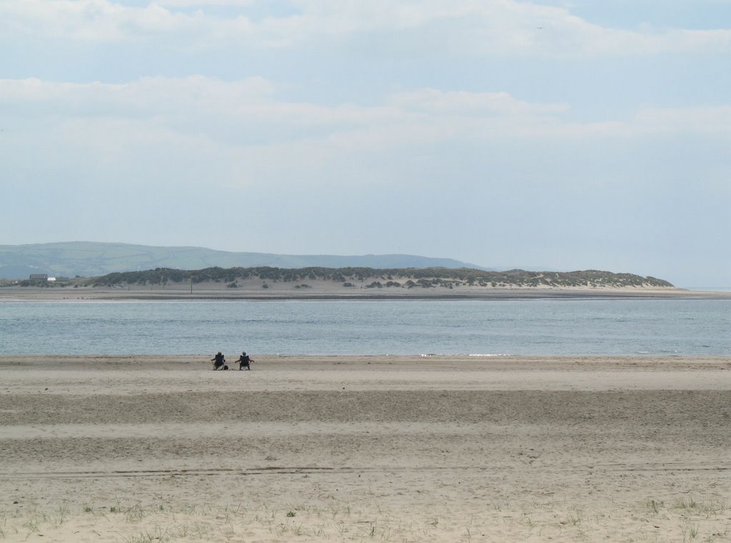
Photos of Tywyn
Tywyn Weather

Predicción: Clear sky
Temperatura: 12.1°
Humedad: 70%
Hora actual: 01:56 PM
Amanece: 06:13 AM
Anochece: 08:18 PM


