Distance between  Alton and
  Ystradgynlais
127.32 mi Straight Distance
165.30 mi Driving Distance
2 hours 50 mins Estimated Driving Time
The straight distance between Alton (England) and Ystradgynlais (Wales) is 127.32 mi, but the driving distance is 165.30 mi.
It takes to go from Alton to Ystradgynlais.
Driving directions from Alton to Ystradgynlais
Distance in kilometers
Straight distance: 204.85 km. Route distance: 265.96 km
Alton, United Kingdom
Latitude: 51.1507 // Longitude: -0.973177
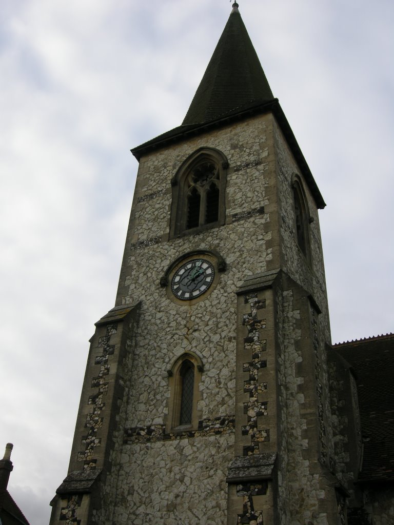
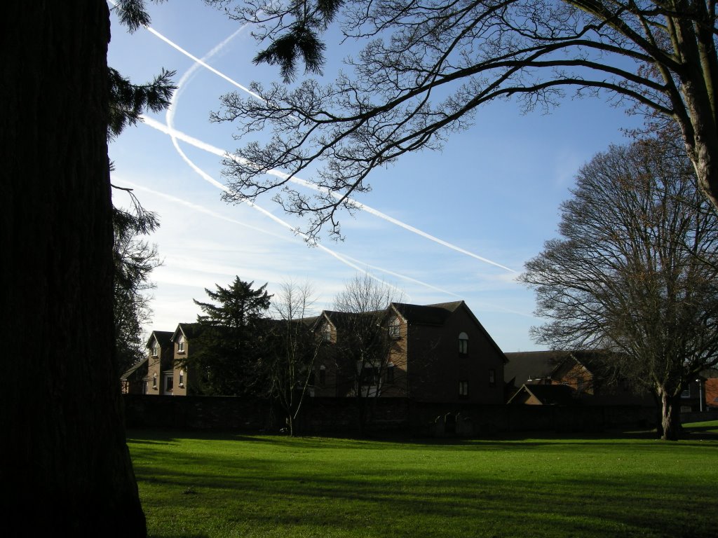
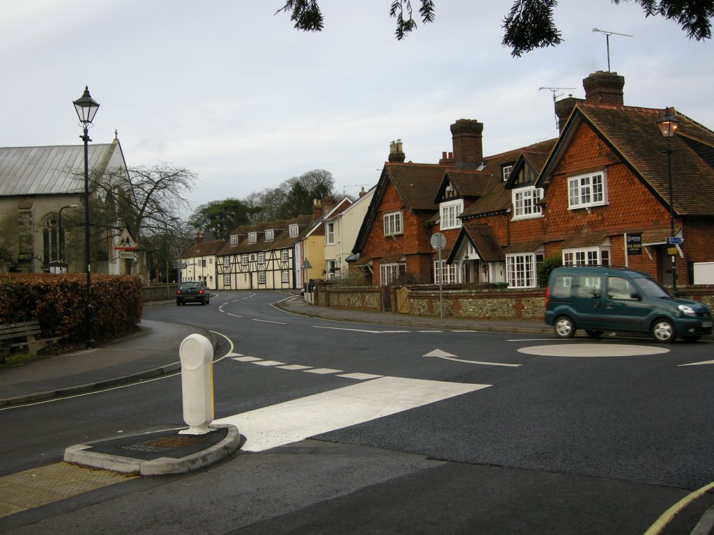
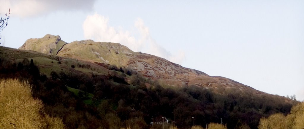
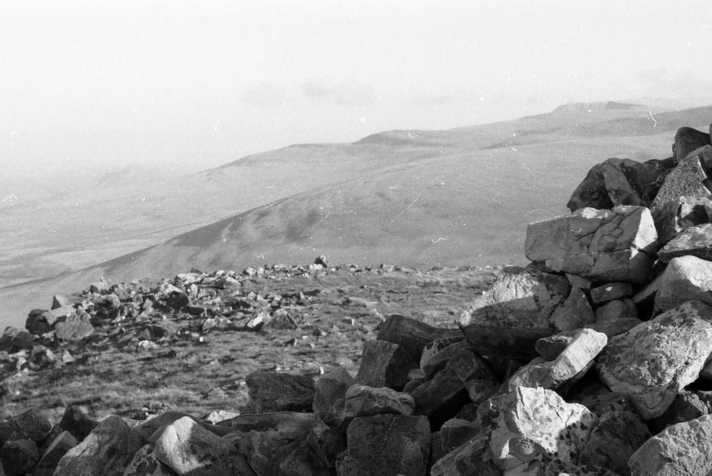
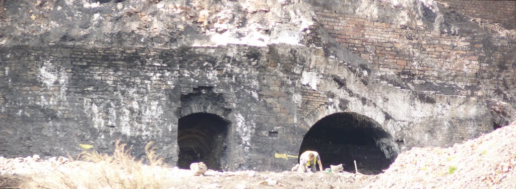
Photos of Alton
Alton Weather

Predicción: Few clouds
Temperatura: 12.0°
Humedad: 61%
Hora actual: 12:37 PM
Amanece: 06:04 AM
Anochece: 08:02 PM
Ystradgynlais, United Kingdom
Latitude: 51.7796 // Longitude: -3.7536
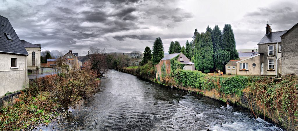
Photos of Ystradgynlais
Ystradgynlais Weather

Predicción: Overcast clouds
Temperatura: 11.0°
Humedad: 64%
Hora actual: 12:37 PM
Amanece: 06:14 AM
Anochece: 08:15 PM


