Distance between  Accrington and
  Presteigne
105.70 mi Straight Distance
144.88 mi Driving Distance
2 hours 33 mins Estimated Driving Time
The straight distance between Accrington (England) and Presteigne (Wales) is 105.70 mi, but the driving distance is 144.88 mi.
It takes 3 hours 2 mins to go from Accrington to Presteigne.
Driving directions from Accrington to Presteigne
Distance in kilometers
Straight distance: 170.06 km. Route distance: 233.12 km
Accrington, United Kingdom
Latitude: 53.7536 // Longitude: -2.37218
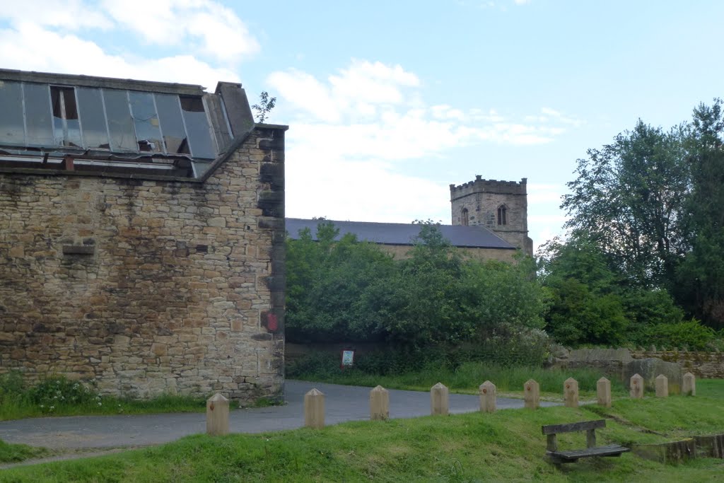
Photos of Accrington
Accrington Weather

Predicción: Few clouds
Temperatura: 6.3°
Humedad: 82%
Hora actual: 10:28 PM
Amanece: 06:04 AM
Anochece: 08:14 PM
Presteigne, United Kingdom
Latitude: 52.272 // Longitude: -3.00516
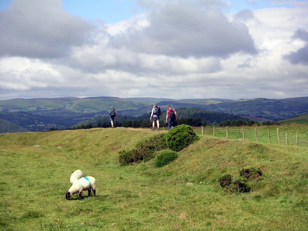
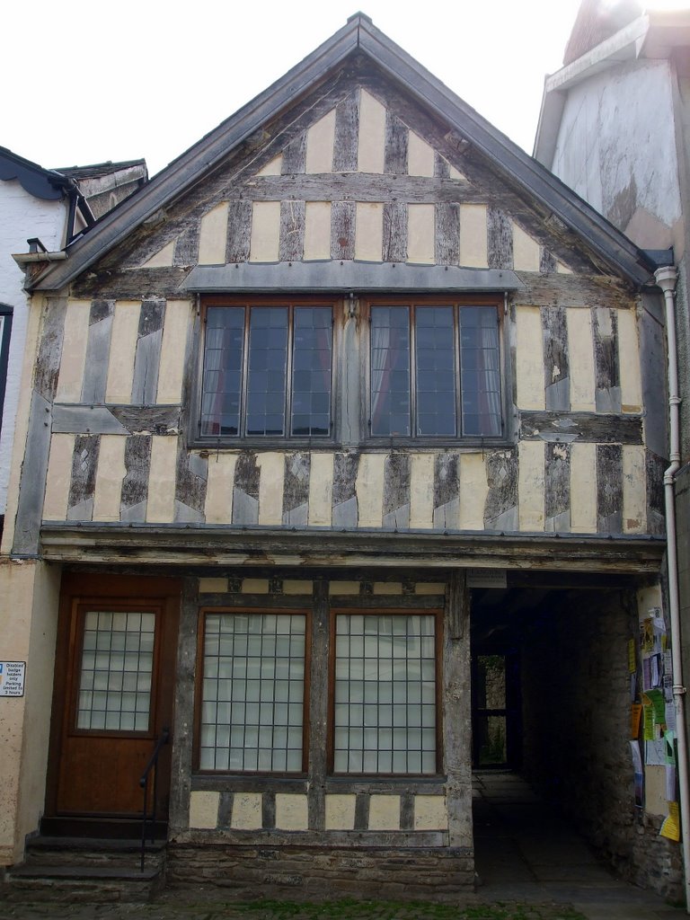
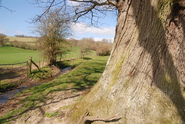
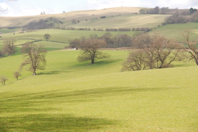
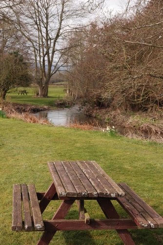
Photos of Presteigne
Presteigne Weather

Predicción: Clear sky
Temperatura: 5.5°
Humedad: 70%
Hora actual: 10:28 PM
Amanece: 06:09 AM
Anochece: 08:13 PM


